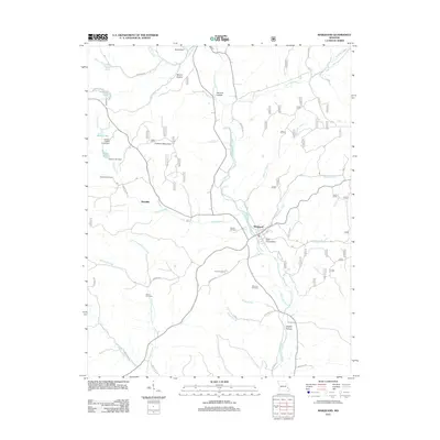
2011 Map of Marquand
USGS Topo · Published 2011About this map
Marquand sits at the convergence of several waterways in this Madison County landscape, where the Upper Castor River meets tributaries like Whitener Creek and Wash Creek. The settlement pattern follows the local topography, with roads and homesteads concentrated in valleys such as Dog Trot Hollow and Vernum Hollow, or skirting the base of Cottoner Mountain.
Find a feature on this map
50 named features on this map. Tap any name to fly to it.
Don’t see what you’re looking for? This feature index may not catch every label — zoom into the map to look around manually.
Map Details
Editions of this 2011 Marquand Map
This is the sole edition of this map. No revisions or reprints were ever made.
Other maps of this area

1910 · Higdon
USGS Topo · 1:62,500

1930 · Coldwater
USGS Topo · 1:62,500

1933 · Marquand
USGS Topo · 1:62,500

1938 · Marquand
USGS Topo · 1:62,500

1939 · Fredericktown
USGS Topo · 1:48,000

1947 · Fredericktown
USGS Topo · 1:62,500

1949 · Rolla
USGS Topo · 1:250,000

1949 · Coldwater
USGS Topo · 1:62,500

1950 · Fredericktown
USGS Topo · 1:62,500

1953 · Rolla
USGS Topo · 1:250,000