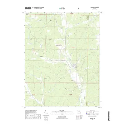
2017 Map of Marquand
USGS Topo · Published 2017About this map
Marquand serves as the primary hub of this landscape, situated near the intersection of the Upper Castor River and Whitener Cr. This 2017 survey reveals a terrain defined by the eastern reaches of the Saint Francois Mountains, where the Mark Twain National Forest preserves much of the timbered uplands. The distribution of small family burial grounds, such as Stephens Cem and Younts Cem, indicates a deep-rooted pattern of rural settlement.
Find a feature on this map
62 named features on this map. Tap any name to fly to it.
Don’t see what you’re looking for? This feature index may not catch every label — zoom into the map to look around manually.
Map Details
Editions of this 2017 Marquand Map
This is the sole edition of this map. No revisions or reprints were ever made.
Other maps of this area

1910 · Higdon
USGS Topo · 1:62,500

1930 · Coldwater
USGS Topo · 1:62,500

1933 · Marquand
USGS Topo · 1:62,500

1938 · Marquand
USGS Topo · 1:62,500

1939 · Fredericktown
USGS Topo · 1:48,000

1947 · Fredericktown
USGS Topo · 1:62,500

1949 · Rolla
USGS Topo · 1:250,000

1949 · Coldwater
USGS Topo · 1:62,500

1950 · Fredericktown
USGS Topo · 1:62,500

1953 · Rolla
USGS Topo · 1:250,000