
1925 Map of Marquez No. 1
USGS Topo · Published 1925About this map
The Navasota River forms a winding natural boundary between Leon and Robertson counties in this mid-1920s survey. The landscape is defined by an intricate network of watercourses including Steel Creek, Brushy Creek, and Red Oak Creek, which drain into the river bottomlands. Small rural settlements and educational hubs serve the farming community, with the town of Marquez situated in the northeast corner near the rail line.
Find a feature on this map
27 named features on this map. Tap any name to fly to it.
Don’t see what you’re looking for? This feature index may not catch every label — zoom into the map to look around manually.
Map Details
Editions of this 1925 Marquez No. 1 Map
This is the sole edition of this map. No revisions or reprints were ever made.
Other maps of this area

1925 · Marquez No. 4
USGS Topo · 1:48,000

1927 · Marquez
USGS Topo · 1:62,500

1930 · Marquez
USGS Topo · 1:62,500

1954 · Waco
USGS Topo · 1:250,000

1955 · Waco
USGS Topo · 1:250,000

1956 · Jewett
USGS Topo · 1:62,500
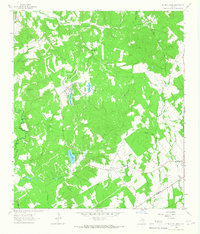
1964 · Hilltop Lakes
USGS Topo · 1:24,000

1964 · Margie
USGS Topo · 1:24,000

1965 · Jewett
USGS Topo · 1:24,000
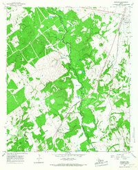
1965 · Marquez
USGS Topo · 1:24,000