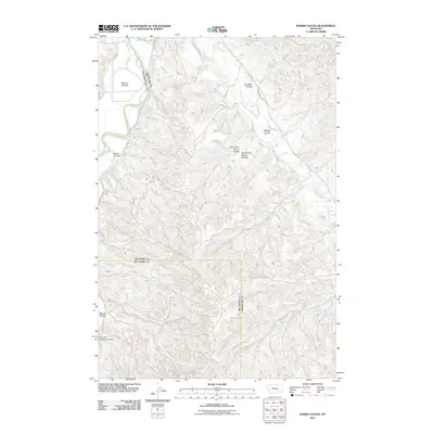
2011 Map of Marsh Coulee
USGS Topo · Published 2011About this map
The Bighorn River snakes through the northwestern corner of this landscape, its path defining the fertile Big Ox Bottom. This 2011 survey of the Yellowstone County region captures a terrain of deep drainage systems and named coulees that reveal the area's natural history and land-use patterns. Local routes like Ponessa Rd and Tullock Rd provide access through the complex network of ravines, including the centrally located Marsh Coulee and its distinct North Fork and South Fork branches. To the south, the curiously named Fountain of Youth Coulee and Mission Coulee offer specific points of interest for researchers tracking local place names and ranching history. The eastern portion of the map is dominated by the upper reaches of several watercourses, such as Tullock Creek and West Lightning Creek, illustrating the intricate drainage that shapes this part of Montana.
Find a feature on this map
17 named features on this map. Tap any name to fly to it.
Don’t see what you’re looking for? This feature index may not catch every label — zoom into the map to look around manually.
Map Details
Editions of this 2011 Marsh Coulee Map
This is the sole edition of this map. No revisions or reprints were ever made.
Other maps of this area

1894 · Fort Custer
USGS Topo · 1:125,000

1954 · Hardin
USGS Topo · 1:250,000

1954 · Forsyth
USGS Topo · 1:250,000

1957 · Hardin
USGS Topo · 1:250,000

1957 · Forsyth
USGS Topo · 1:250,000

1958 · Forsyth
USGS Topo · 1:250,000

1958 · Hardin
USGS Topo · 1:250,000

1960 · Bighorn
USGS Topo · 1:24,000

1960 · Foster
USGS Topo · 1:24,000

1960 · Custer
USGS Topo · 1:24,000