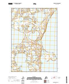
2018 Map of Marshall A-2 SW
USGS Topo · Published 2018About this map
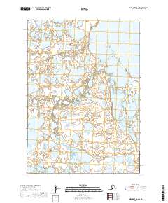
Takslesluk Lake dominates the western landscape of this Bethel Census Area quadrant, illustrating the complex wetland environment of the Alaska wilderness. The terrain is defined by an intricate network of water and marshland, with Kayigyalik Lake anchoring the southeastern portion of the sheet. This 2018 survey uses data from the National Hydrography Dataset and SPOT imagery to map the shifting boundaries of these significant water bodies. The absence of roads or established settlements emphasizes the remote, undisturbed nature of the region, where land use is largely defined by the Public Land Survey System grids of t12n r76w, t12n r75w, t11n r76w, and t11n r75w.
Find a feature on this map
6 named features on this map. Tap any name to fly to it.
Don’t see what you’re looking for? This feature index may not catch every label — zoom into the map to look around manually.
Map Details
Editions of this 2018 Marshall A-2 SW Map
This is the sole edition of this map. No revisions or reprints were ever made.
Other maps of this area

1951 · Marshall
USGS Topo · 1:250,000

1951 · Baird Inlet
USGS Topo · 1:250,000

1954 · Marshall A-2
USGS Topo · 1:63,360

1954 · Marshall A-3
USGS Topo · 1:63,360

1954 · Marshall
USGS Topo · 1:250,000

1954 · Baird Inlet
USGS Topo · 1:250,000
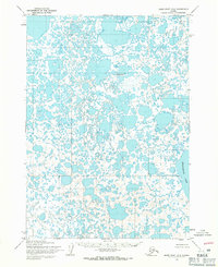
1954 · Baird Inlet D-3
USGS Topo · 1:63,360
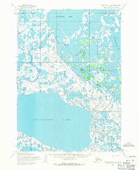
1954 · Baird Inlet D-2
USGS Topo · 1:63,360
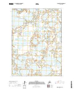
2017 · Baird Inlet D-3 NE
USGS Topo · 1:25,000
2017 · Baird Inlet D-2 NW
USGS Topo · 1:25,000