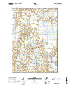
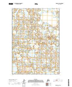
2020 Map of Marshall C-4 NE
USGS Topo · Published 2020About this map
The Pitmik River meanders across the northern portion of this vast wetland complex in the Kusilvak Census Area. This 2020 survey documents a landscape dominated by a intricate network of ponds, lakes, and marshes typical of the Alaskan delta regions. The mapping of T19n R77w and T19n R76w reveals a territory nearly devoid of permanent structures or developed roads, illustrating the seasonal and hydrological nature of this remote geography. Researchers can examine the detailed drainage patterns and topographical contours that define the drainage basins south of the primary river channel. This map represents the modern baseline for the region's hydrography as recorded by the U.S. Geological Survey.
Find a feature on this map
5 named features on this map. Tap any name to fly to it.
Don’t see what you’re looking for? This feature index may not catch every label — zoom into the map to look around manually.
Map Details
Editions of this 2020 Marshall C-4 NE Map
This is the sole edition of this map. No revisions or reprints were ever made.
Other maps of this area

1951 · Marshall
USGS Topo · 1:250,000

1952 · Marshall D-4
USGS Topo · 1:63,360

1952 · Marshall D-3
USGS Topo · 1:63,360

1954 · Marshall C-3
USGS Topo · 1:63,360

1954 · Marshall C-4
USGS Topo · 1:63,360

1954 · Marshall
USGS Topo · 1:250,000
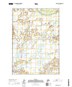
2020 · Marshall D-4 SE
USGS Topo · 1:25,000
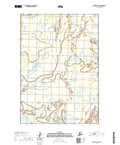
2020 · Marshall D-4 SW
USGS Topo · 1:25,000
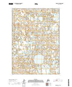
2020 · Marshall C-4 SE
USGS Topo · 1:25,000
2020 · Marshall C-4 SW
USGS Topo · 1:25,000