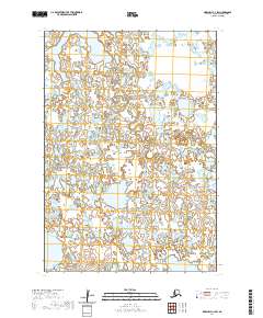
2020 Map of Marshall C-4 SW
USGS Topo · Published 2020About this map
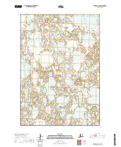
Partway Lake sits in the northwest corner of this hydrologically complex landscape, surrounded by an intricate web of seasonal wetlands and unnamed ponds typical of the Kusilvak Census Area. The water-driven geography is defined by the winding course of Chakaktolik Creek, which meanders across the central and eastern portions of the map. This 2020 survey illustrates a wilderness area devoid of modern infrastructure or permanent settlements, where the Public Land Survey System grid—including t17n r78w and t18n r77w—serves as the primary method of spatial organization. The density of the hydrography suggests a terrain shaped by heavy seasonal saturation, making it a valuable record for those studying the natural drainage patterns and environmental shifts in this part of western Alaska.
Find a feature on this map
9 named features on this map. Tap any name to fly to it.
Don’t see what you’re looking for? This feature index may not catch every label — zoom into the map to look around manually.
Map Details
Editions of this 2020 Marshall C-4 SW Map
This is the sole edition of this map. No revisions or reprints were ever made.
Other maps of this area

1951 · Marshall
USGS Topo · 1:250,000

1952 · Marshall C-5
USGS Topo · 1:63,360

1953 · Marshall B-5
USGS Topo · 1:63,360

1954 · Marshall B-4
USGS Topo · 1:63,360

1954 · Marshall C-4
USGS Topo · 1:63,360

1954 · Marshall
USGS Topo · 1:250,000
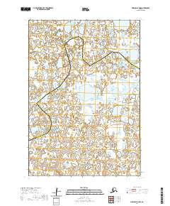
2020 · Marshall B-4 NW
USGS Topo · 1:25,000
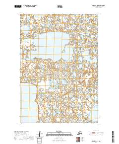
2020 · Marshall C-5 SE
USGS Topo · 1:25,000
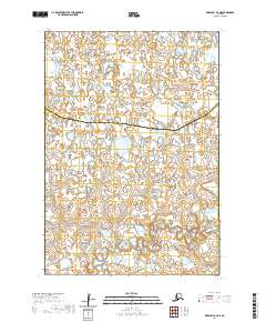
2020 · Marshall B-4 NE
USGS Topo · 1:25,000
2020 · Marshall C-5 NE
USGS Topo · 1:25,000