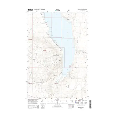
2014 Map of Marshall Creek
USGS Topo · Published 2014About this map
The western shoreline of Lake Gogebic dominates this part of the Upper Peninsula, where the waters are punctuated by distinctive landmarks like Montgomery Point and the sharp peninsula of Alligator Point. The settlement of White City sits along the southern coast of Ice House Bay, serving as a focal point for the area's geography. To the west, the dense woodlands of the Ottawa National Forest are carved by a complex network of waterways, including the Pelton River and the Slate River.
Find a feature on this map
34 named features on this map. Tap any name to fly to it.
Don’t see what you’re looking for? This feature index may not catch every label — zoom into the map to look around manually.
Map Details
Editions of this 2014 Marshall Creek Map
This is the sole edition of this map. No revisions or reprints were ever made.
Other maps of this area

1952 · Thayer
USGS Topo · 1:62,500

1955 · Marenisco
USGS Topo · 1:62,500

1955 · Marenisco
USGS Topo · 1:24,000

1956 · Bergland
USGS Topo · 1:62,500

1956 · Matchwood
USGS Topo · 1:62,500

1958 · Iron River
USGS Topo · 1:250,000

1960 · Iron River
USGS Topo · 1:250,000

1961 · Iron River
USGS Topo · 1:250,000

1967 · Iron River
USGS Topo · 1:250,000

1979 · Ontonagon
USGS Topo · 1:100,000