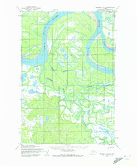
1952 Map of Marshall D-2
USGS Topo · Published 1973About this map
The Yukon River dominates this mid-century Alaskan landscape, its broad course twisting through Dogtooth Bend and branching into complex aquatic networks. Large distributary channels like Poltes Slough and Center Slough carve through the riverbanks, creating a delta-like environment defined by shifting water and low-lying ground. The map reflects a region where seasonal mobility is vital, evidenced by the Winter Trail (Approximate) which provides a navigable route across the terrain during the frozen months.
Find a feature on this map
8 named features on this map. Tap any name to fly to it.
Don’t see what you’re looking for? This feature index may not catch every label — zoom into the map to look around manually.
Map Details
Editions of this 1952 Marshall D-2 Map
2 editions found
Other maps of this area

1951 · Marshall
USGS Topo · 1:250,000

1952 · Kwiguk
USGS Topo · 1:250,000

1952 · Kwiguk A-2
USGS Topo · 1:63,360

1952 · Kwiguk A-1
USGS Topo · 1:63,360

1952 · Marshall C-1
USGS Topo · 1:63,360
1952 · Marshall D-1
USGS Topo · 1:63,360
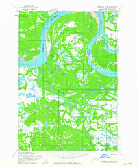
1952 · Marshall D-2
USGS Topo · 1:63,360

1952 · Marshall D-3
USGS Topo · 1:63,360

1954 · Marshall C-3
USGS Topo · 1:63,360
1954 · Marshall C-2
USGS Topo · 1:63,360