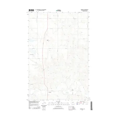
2014 Map of Marshall
USGS Topo · Published 2014About this map
Marshall and the surrounding rangeland of Dunn County are defined by the winding course of the Knife River, which cuts through the southwestern portion of this landscape. The terrain is marked by numerous seasonal drainages and coulees, such as Ash Coulee and Fish Cr, which feed into the larger river system. North of the main settlement, the area around London Bridge and the Smith Strip Airport highlights the rural infrastructure necessary for navigating these large tracts of land. The presence of ND-8 provides the primary north-south artery through the territory, connecting isolated farmsteads. Genealogical researchers will find the Kyseth Memorial Cem located just east of the river, serving as a significant landmark for local family history. The intricate contour lines illustrate the varied elevations of the high plains, where numerous branches of Coyote Cr have carved out a complex drainage network across the northern half of the quadrangle.
Find a feature on this map
21 named features on this map. Tap any name to fly to it.
Don’t see what you’re looking for? This feature index may not catch every label — zoom into the map to look around manually.
Map Details
Editions of this 2014 Marshall Map
This is the sole edition of this map. No revisions or reprints were ever made.
Other maps of this area

1953 · Watford City
USGS Topo · 1:250,000

1957 · Watford City
USGS Topo · 1:250,000

1967 · Watford City
USGS Topo · 1:250,000

1973 · Marshall SE
USGS Topo · 1:24,000

1973 · Willow Creek West
USGS Topo · 1:24,000

1973 · Schaffner Creek
USGS Topo · 1:24,000

1973 · Marshall SW
USGS Topo · 1:24,000

1973 · Halliday
USGS Topo · 1:24,000

1973 · Dodge
USGS Topo · 1:24,000

1973 · Werner
USGS Topo · 1:24,000