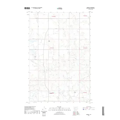
2017 Map of Marshall
USGS Topo · Published 2017About this map
The Knife River winds through the southern reaches of this Dunn County landscape, carving a valley that defines the local geography. Near the riverbank, the small community of Marshall serves as a focal point for the surrounding prairie, situated near the Kyseth Memorial Cem. The terrain is characterized by a series of drainages, including Coyote Cr, Fish Cr, and Ash Coulee, which create a complex system of ridges and draws typical of the North Dakota plains.
Find a feature on this map
21 named features on this map. Tap any name to fly to it.
Don’t see what you’re looking for? This feature index may not catch every label — zoom into the map to look around manually.
Map Details
Editions of this 2017 Marshall Map
This is the sole edition of this map. No revisions or reprints were ever made.
Other maps of this area

1953 · Watford City
USGS Topo · 1:250,000

1957 · Watford City
USGS Topo · 1:250,000

1967 · Watford City
USGS Topo · 1:250,000

1973 · Marshall SE
USGS Topo · 1:24,000

1973 · Willow Creek West
USGS Topo · 1:24,000

1973 · Schaffner Creek
USGS Topo · 1:24,000

1973 · Marshall SW
USGS Topo · 1:24,000

1973 · Halliday
USGS Topo · 1:24,000

1973 · Dodge
USGS Topo · 1:24,000

1973 · Werner
USGS Topo · 1:24,000