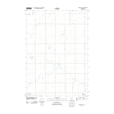
2010 Map of Marshall SE
USGS Topo · Published 2010About this map
The Cottonwood River meanders across this rural section of Lyon County, defining the agricultural landscape of south-central Minnesota in 2010. This topographical study highlights a region dominated by a systematic grid of township roads and section lines, where Lake Yankton sits as a primary water feature in the southwest. The presence of specialized rural infrastructure, such as the Pagel-Madden Dam and the Kruger-Gregoire Farm Pond Dam, indicates a managed hydraulic environment used to support local farming and drainage. From the headwaters of Meadow Creek to the established routes of County Hwy-67 and County Hwy-20, the map provides a precise layout of the county's transport and water management systems at the end of the decade.
Find a feature on this map
20 named features on this map. Tap any name to fly to it.
Don’t see what you’re looking for? This feature index may not catch every label — zoom into the map to look around manually.
Map Details
Editions of this 2010 Marshall SE Map
This is the sole edition of this map. No revisions or reprints were ever made.
Other maps of this area

1953 · New Ulm
USGS Topo · 1:250,000

1957 · New Ulm
USGS Topo · 1:250,000

1958 · New Ulm
USGS Topo · 1:250,000

1962 · Dudley
USGS Topo · 1:24,000

1962 · Amiret
USGS Topo · 1:24,000

1963 · Russell
USGS Topo · 1:24,000

1963 · Lynd
USGS Topo · 1:24,000

1963 · Marshall SE
USGS Topo · 1:24,000

1963 · Marshall
USGS Topo · 1:24,000

1967 · New Ulm
USGS Topo · 1:250,000