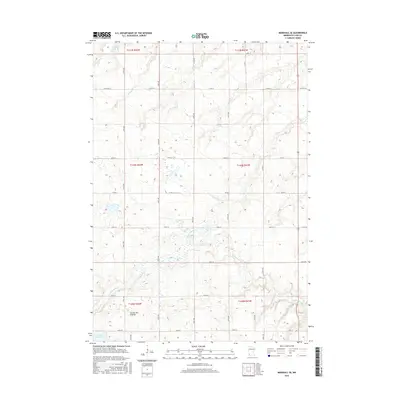
2016 Map of Marshall SE
USGS Topo · Published 2016About this map
The Coteau des Prairies plateau defines the topography of this corner of Lyon County, where glacial landforms create a complex network of wetlands and small basins. The Cottonwood River meanders across the southern sections of the map, carving a shallow valley through the prairie landscape. To the north, Meadow Creek drains toward the larger river system, while water bodies like Lake Marion and Lake Yankton dot the terrain. The rectangular survey system is clearly visible through a grid of rural roads, including Co Rd 20 and Co Rd 69, which follow section lines established in the 19th century. This 2016 survey illustrates a modern agricultural landscape that remains deeply tied to its glacial geological foundations, preserving the historical drainage patterns and land divisions of southwestern Minnesota.
Find a feature on this map
22 named features on this map. Tap any name to fly to it.
Don’t see what you’re looking for? This feature index may not catch every label — zoom into the map to look around manually.
Map Details
Editions of this 2016 Marshall SE Map
This is the sole edition of this map. No revisions or reprints were ever made.
Other maps of this area

1953 · New Ulm
USGS Topo · 1:250,000

1957 · New Ulm
USGS Topo · 1:250,000

1958 · New Ulm
USGS Topo · 1:250,000

1962 · Dudley
USGS Topo · 1:24,000

1962 · Amiret
USGS Topo · 1:24,000

1963 · Russell
USGS Topo · 1:24,000

1963 · Lynd
USGS Topo · 1:24,000

1963 · Marshall SE
USGS Topo · 1:24,000

1963 · Marshall
USGS Topo · 1:24,000

1967 · New Ulm
USGS Topo · 1:250,000