Loading...
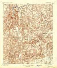
Loading map...1901 Map of Marshall
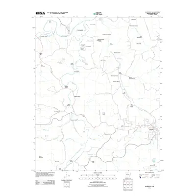
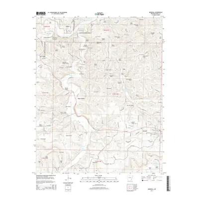
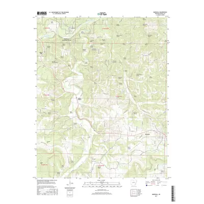
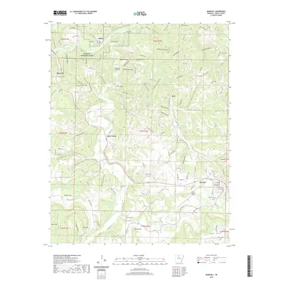
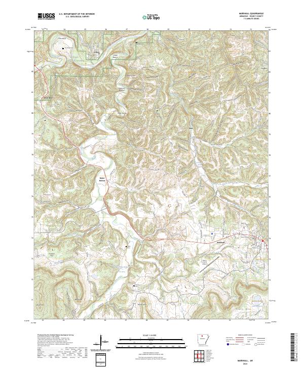
USGS Topo · Published 1936About this map
The Buffalo River snakes across the northern reaches of this late 19th-century survey, defining a landscape dominated by the high ridges of the Boston Mountains. Centered on the town of Marshall, the map reveals a rugged Ozark interior where early Arkansas settlements like Snowball and Witts Springs were established along narrow valley floors and creek beds. The drainage patterns of the Middle Fork and South Fork Little Red River dictate the placement of mountain roads and small crossroads such as Castleberry and Scotland.
Find a feature on this map
75 named features on this map. Tap any name to fly to it.
Don’t see what you’re looking for? This feature index may not catch every label — zoom into the map to look around manually.
Map Details
Date Portrayed1901
Date Published1936
PublisherU.S. Geological Survey
Map TypeTopographic
Scale1:125,000
Physical Dimensions16.5 x 19.8 inches
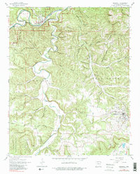
Editions of this 1901 Marshall Map
4 editions found

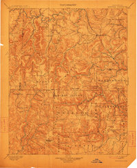
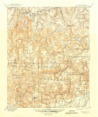
Historical Maps of Marshall Through Time
9 maps found


Featured Locations
Source Details
SourceU.S. Geological Survey
CopyrightPublic Domain