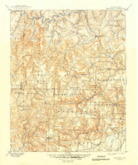
1901 Map of Marshall
USGS Topo · Published 1949About this map
The Buffalo River snakes along the northern reaches of this late 19th-century survey, a rugged landscape where the Boston Mountain range dictates the flow of commerce and settlement. Topographer H. B. Blair's work reveals a network of high peaks and deep hollows, such as Hickory Hollow and Barren Hollow in an area aptly labeled The Wilderness. These ridges are dotted with family-named landmarks like Reeves Knob, Henderson Knob, and Crowell Pinnacle, providing invaluable data for genealogists tracing ancestral land holdings in Searcy and Van Buren counties.
Find a feature on this map
97 named features on this map. Tap any name to fly to it.
Don’t see what you’re looking for? This feature index may not catch every label — zoom into the map to look around manually.
Map Details
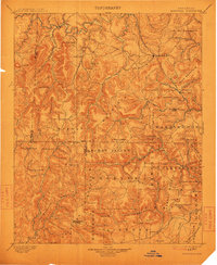
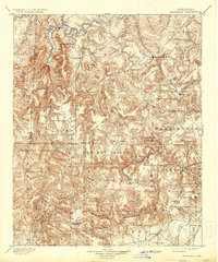
Editions of this 1901 Marshall Map
4 editions found

Other maps of this area

1879 · Washington
USGS Topo · 1:62,500

1887 · Smyrna
USGS Topo · 1:62,500

1888 · Dardanelle #1
USGS Topo · 1:62,500

1889 · Treat
USGS Topo · 1:62,500

1889 · Marshall #3
USGS Topo · 1:62,500

1890 · Dardanelle
USGS Topo · 1:125,000

1890 · Mountain Home
USGS Topo · 1:125,000

1891 · Mountain Home
USGS Topo · 1:125,000

1892 · Marshall
USGS Topo · 1:125,000

1892 · Mountain View
USGS Topo · 1:125,000