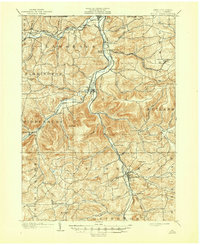
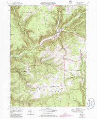
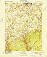
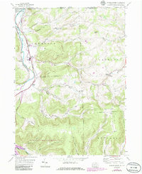
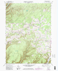
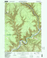
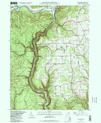
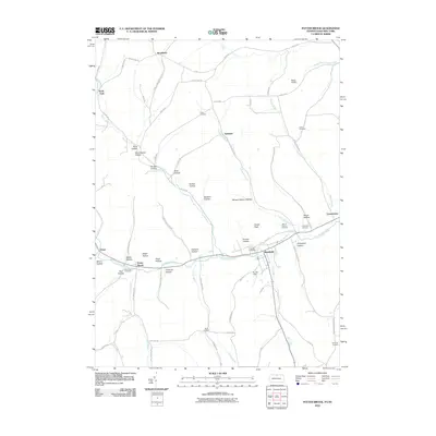
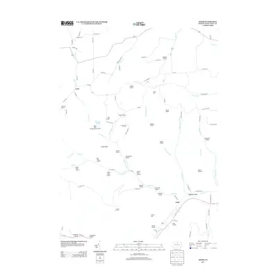
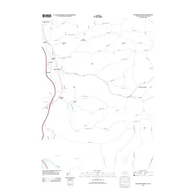
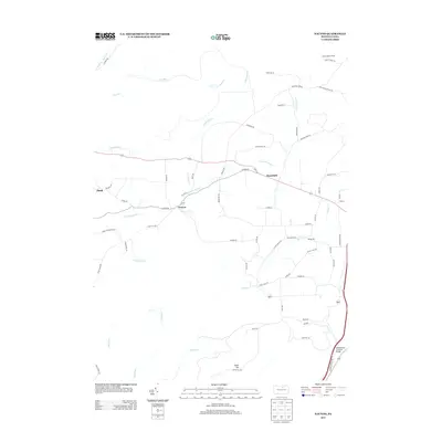
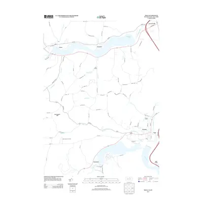
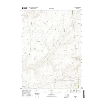
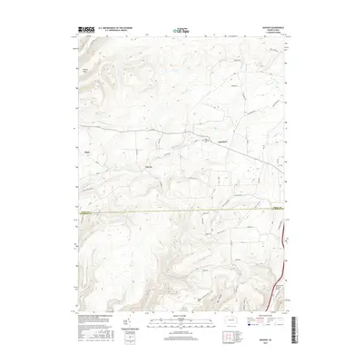
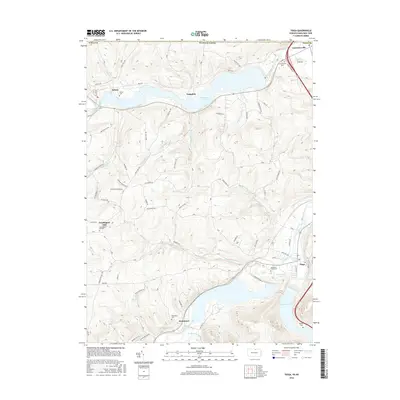
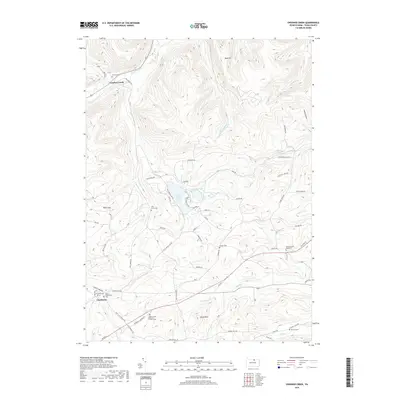
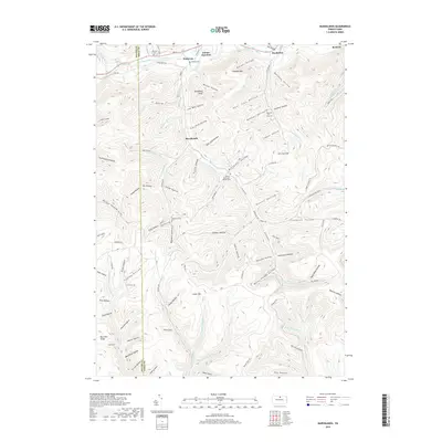
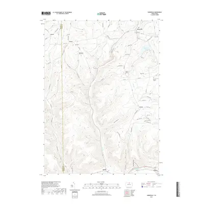
1947 Map of Marshlands
USGS Topo · Published 1972About this map
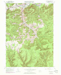
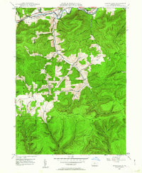
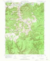
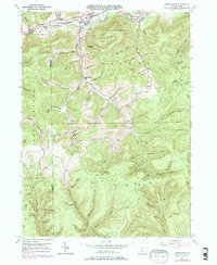
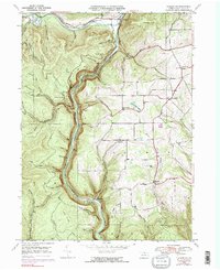
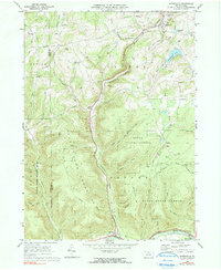
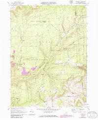
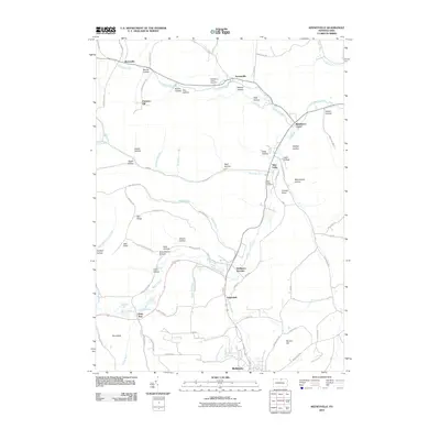
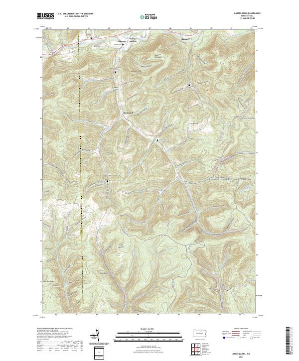
The northern edge of the Potter Co Tioga Co boundary reveals a landscape defined by deep valleys and high plateaus, where the community of Watrous sits along the banks of Pine Creek. In the mid-20th century, these valleys served as critical corridors for small settlements like Marshlands and Manhattan, which were linked by winding roads tracing the base of massive landforms such as Elephant Mtn. The naming conventions of the hollows, including Acid Factory Hollow and Gas Well Hollow, provide a direct window into the early industrial activities and extraction history of this part of Pennsylvania.
Find a feature on this map
47 named features on this map. Tap any name to fly to it.
Don’t see what you’re looking for? This feature index may not catch every label — zoom into the map to look around manually.
Map Details
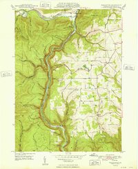
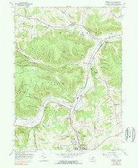
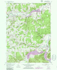
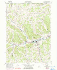
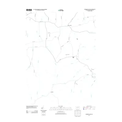
Editions of this 1947 Marshlands Map
5 editions found
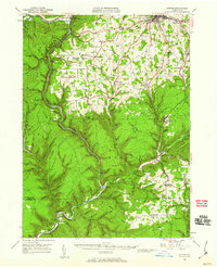
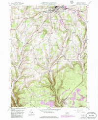
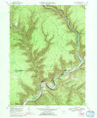
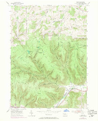
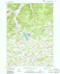
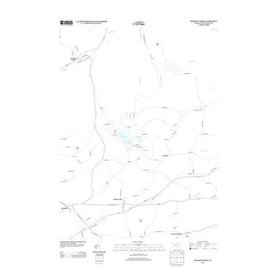
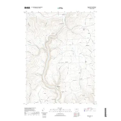
Historical Maps of Gaines Township Through Time
114 maps found

1900 Tioga
Tioga County, PA
1902 Tioga
Tioga County, PA

1924 Woodhull
Tioga County, PA
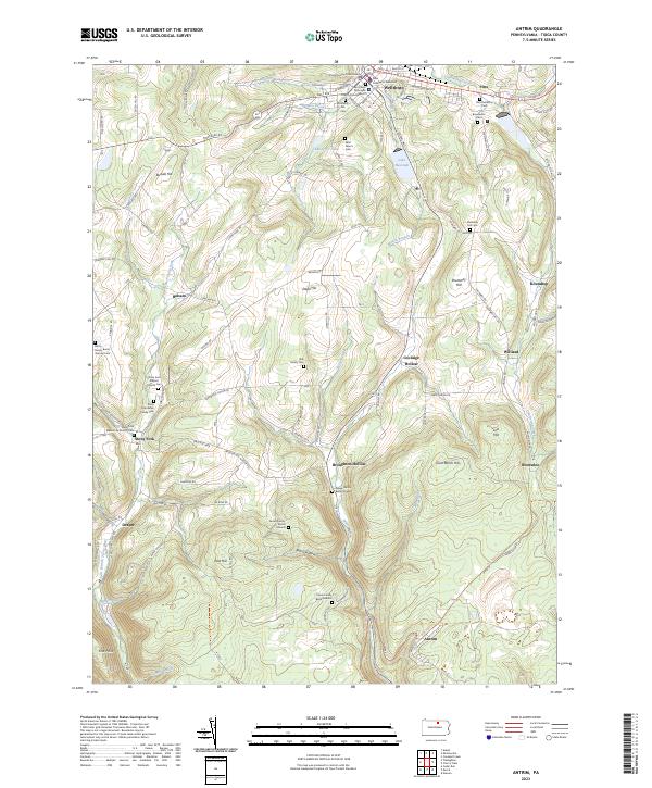
1946 Antrim
Tioga County, PA
1946 Antrim
Tioga County, PA
1946 Cedar Run
Tioga County, PA
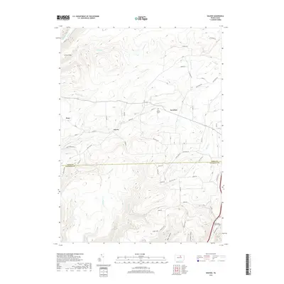
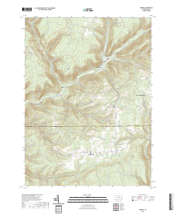
1946 Morris
Tioga County, PA
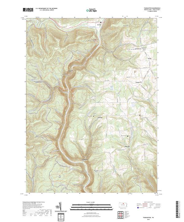
1946 Tiadaghton
Tioga County, PA
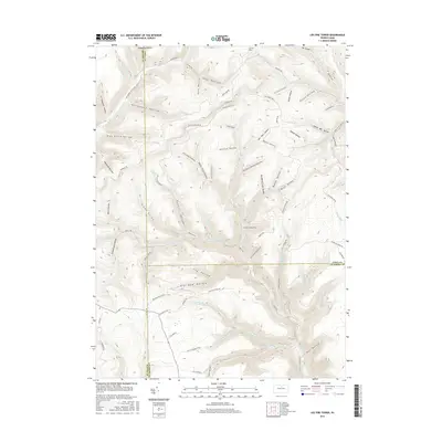
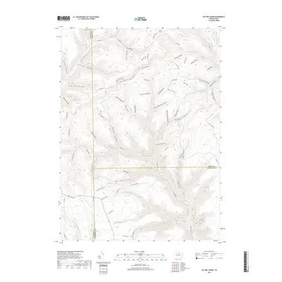
1947 Lee Fire Tower
Tioga County, PA
1947 Marshlands
Tioga County, PA
1948 Antrim
Tioga County, PA

1948 Cedar Run
Tioga County, PA
1948 Tiadaghton
Tioga County, PA

1950 Lee Fire Tower
Tioga County, PA

1950 Marshlands
Tioga County, PA

1950 Morris
Tioga County, PA
1954 Asaph
Tioga County, PA
1954 Crooked Creek
Tioga County, PA
1954 Jackson Summit
Tioga County, PA
1954 Kenneyville
Tioga County, PA
1954 Tioga
Tioga County, PA
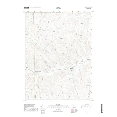
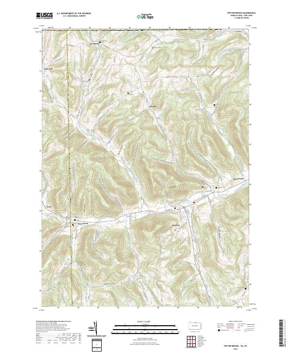
1957 Potter Brook
Tioga County, PA
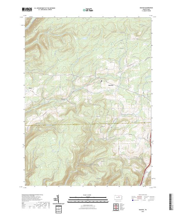
1969 Nauvoo
Tioga County, PA
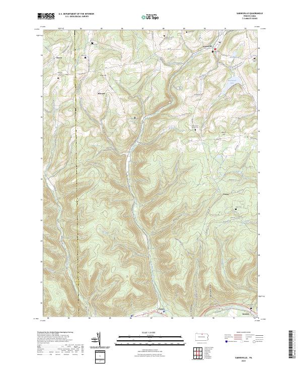
1969 Sabinsville
Tioga County, PA
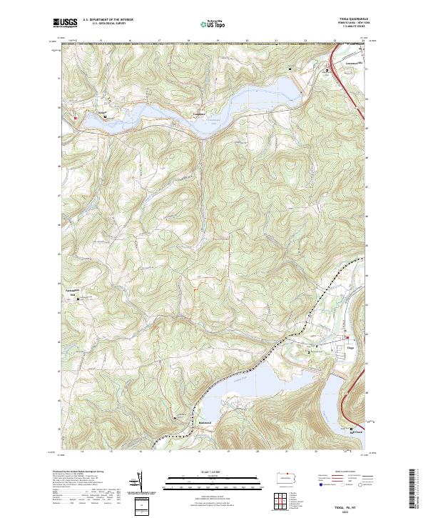
1969 Tioga
Tioga County, PA
1970 Cherry Flats
Tioga County, PA
1970 Gleason
Tioga County, PA

1977 Cedar Run
Tioga County, PA

1977 Lee Fire Tower
Tioga County, PA
1977 Morris
Tioga County, PA
1977 Nauvoo
Tioga County, PA
1977 Tiadaghton
Tioga County, PA
1994 Cedar Run
Tioga County, PA
1994 Crooked Creek
Tioga County, PA
1994 Keeneyville
Tioga County, PA

1994 Lee Fire Tower
Tioga County, PA
1994 Morris
Tioga County, PA
1994 Tiadaghton
Tioga County, PA

2010 Asaph
Tioga County, PA

2010 Cedar Run
Tioga County, PA
2010 Cherry Flats
Tioga County, PA
2010 Crooked Creek
Tioga County, PA
2010 Gleason
Tioga County, PA

2010 Jackson Summit
Tioga County, PA
2010 Keeneyville
Tioga County, PA
2010 Lee Fire Tower
Tioga County, PA
2010 Marshlands
Tioga County, PA

2010 Morris
Tioga County, PA
2010 Nauvoo
Tioga County, PA
2010 Potter Brook
Tioga County, PA
2010 Sabinsville
Tioga County, PA
2010 Tiadaghton
Tioga County, PA
2010 Tioga
Tioga County, PA
2013 Asaph
Tioga County, PA

2013 Cedar Run
Tioga County, PA
2013 Cherry Flats
Tioga County, PA
2013 Crooked Creek
Tioga County, PA
2013 Gleason
Tioga County, PA
2013 Jackson Summit
Tioga County, PA
2013 Keeneyville
Tioga County, PA
2013 Lee Fire Tower
Tioga County, PA
2013 Marshlands
Tioga County, PA

2013 Morris
Tioga County, PA
2013 Nauvoo
Tioga County, PA
2013 Potter Brook
Tioga County, PA
2013 Sabinsville
Tioga County, PA
2013 Tiadaghton
Tioga County, PA
2013 Tioga
Tioga County, PA

2016 Asaph
Tioga County, PA
2016 Cedar Run
Tioga County, PA
2016 Cherry Flats
Tioga County, PA
2016 Crooked Creek
Tioga County, PA
2016 Gleason
Tioga County, PA

2016 Jackson Summit
Tioga County, PA
2016 Keeneyville
Tioga County, PA
2016 Lee Fire Tower
Tioga County, PA
2016 Marshlands
Tioga County, PA

2016 Morris
Tioga County, PA
2016 Nauvoo
Tioga County, PA
2016 Potter Brook
Tioga County, PA
2016 Sabinsville
Tioga County, PA
2016 Tiadaghton
Tioga County, PA
2016 Tioga
Tioga County, PA
2019 Asaph
Tioga County, PA
2019 Cedar Run
Tioga County, PA
2019 Cherry Flats
Tioga County, PA
2019 Crooked Creek
Tioga County, PA
2019 Gleason
Tioga County, PA
2019 Jackson Summit
Tioga County, PA
2019 Keeneyville
Tioga County, PA
2019 Lee Fire Tower
Tioga County, PA
2019 Marshlands
Tioga County, PA

2019 Morris
Tioga County, PA
2019 Nauvoo
Tioga County, PA
2019 Potter Brook
Tioga County, PA
2019 Sabinsville
Tioga County, PA
2019 Tiadaghton
Tioga County, PA
2019 Tioga
Tioga County, PA
2023 Antrim
Tioga County, PA
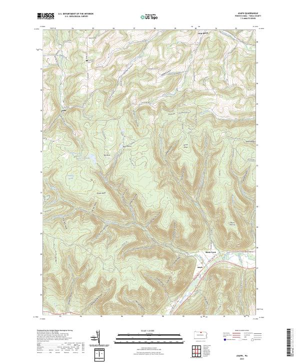
2023 Asaph
Tioga County, PA
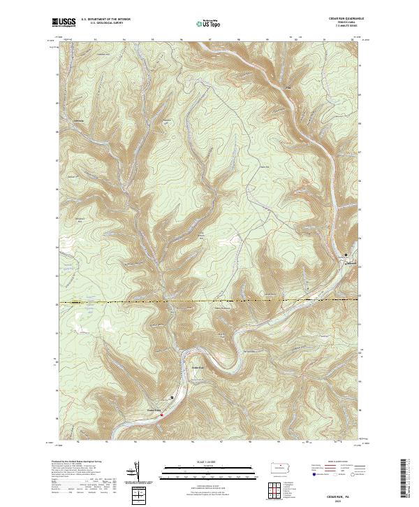
2023 Cedar Run
Tioga County, PA
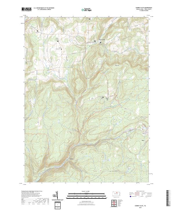
2023 Cherry Flats
Tioga County, PA
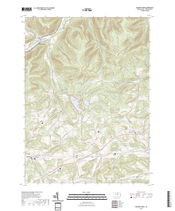
2023 Crooked Creek
Tioga County, PA
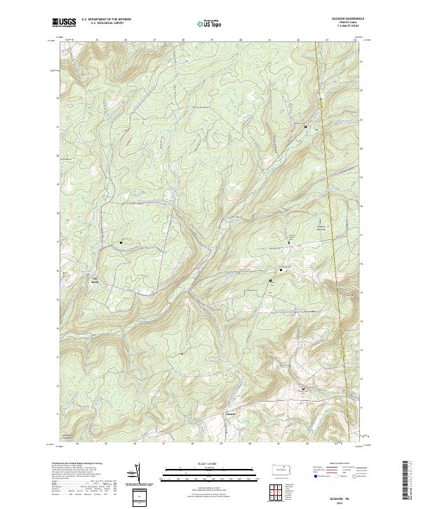
2023 Gleason
Tioga County, PA
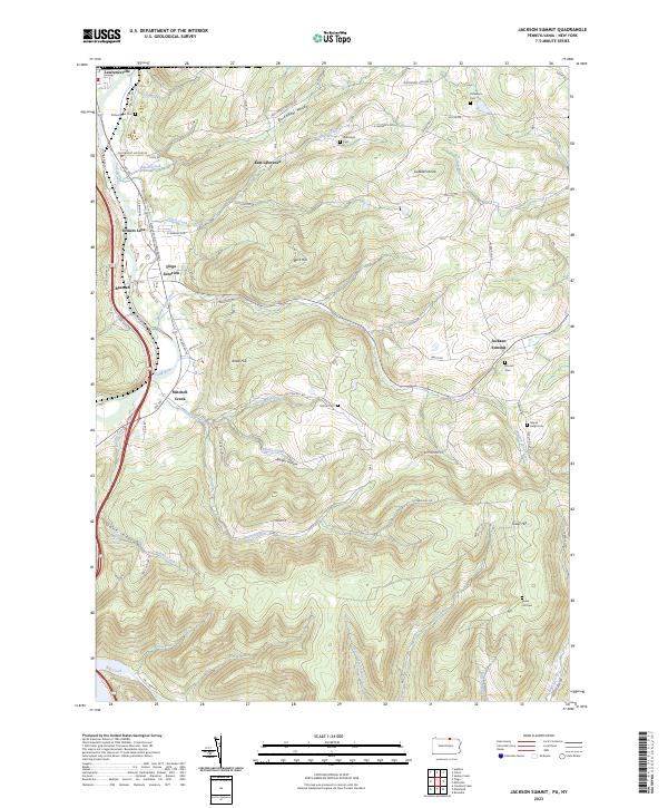
2023 Jackson Summit
Tioga County, PA
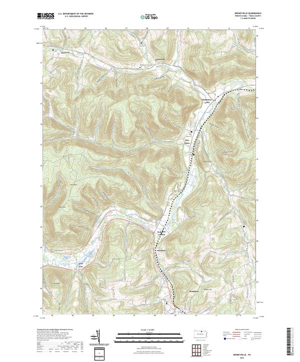
2023 Keeneyville
Tioga County, PA
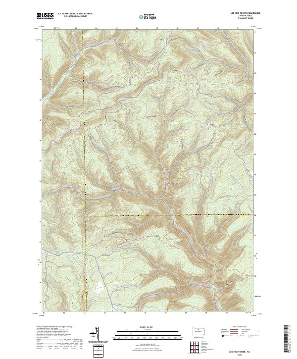
2023 Lee Fire Tower
Tioga County, PA
2023 Marshlands
Tioga County, PA
2023 Morris
Tioga County, PA
2023 Nauvoo
Tioga County, PA
2023 Potter Brook
Tioga County, PA
2023 Sabinsville
Tioga County, PA
2023 Tiadaghton
Tioga County, PA
2023 Tioga
Tioga County, PA
Featured Locations
- Abbott Township, PA
- West Branch Township, PA
- Pike Township, PA
- Gaines Township, PA
- Manhattan, Gaines Township