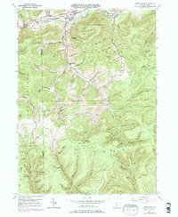
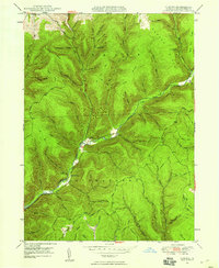
1947 Map of Marshlands
USGS Topo · Published 1976About this map
Deep valley cuts and forested peaks define this portion of the Pennsylvania Grand Canyon region, where the Pine Creek waterway flows past the settlement of Wellsville and the rail junction at Gaines Jct. This mid-century landscape reflects a community built around the narrow habitable corridors of the canyon floor, with institutions like the Maynard Sch and Phoenix Ch serving rural families along the creek banks.
Find a feature on this map
100 named features on this map. Tap any name to fly to it.
Don’t see what you’re looking for? This feature index may not catch every label — zoom into the map to look around manually.
Map Details
Editions of this 1947 Marshlands Map
5 editions found

Other maps of this area

1899 · Gaines
USGS Topo · 1:62,500

1900 · Gaines
USGS Topo · 1:62,500

1900 · Elkland
USGS Topo · 1:62,500

1946 · Tiadaghton
USGS Topo · 1:24,000

1946 · Antrim
USGS Topo · 1:62,500

1946 · Cedar Run
USGS Topo · 1:24,000

1947 · Galeton
USGS Topo · 1:62,500

1947 · Lee Fire Tower
USGS Topo · 1:24,000
1947 · Oleona
USGS Topo · 1:24,000

1947 · Galeton
USGS Topo · 1:24,000
Featured Places
- Gaines Township, PA
- Abbott Township, PA
- Pike Township, PA
- West Branch Township, PA
- Manhattan, Gaines Township