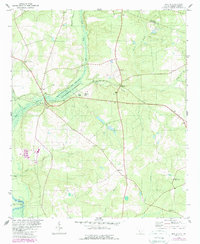
1979 Map of Martin
USGS Topo · Published 1989About this map
The Savannah River Plant (Department of Energy) dominates the western half of this landscape, its expansive Reservation Boundary separating federal lands from the rural communities of Allendale County. This 1970s survey captures a territory where the modern energy complex meets traditional South Carolina settlement patterns. The agricultural and residential core is anchored by small towns like Martin and Baldock, while numerous country churches provide evidence of a well-established social fabric.
Find a feature on this map
32 named features on this map. Tap any name to fly to it.
Don’t see what you’re looking for? This feature index may not catch every label — zoom into the map to look around manually.
Map Details
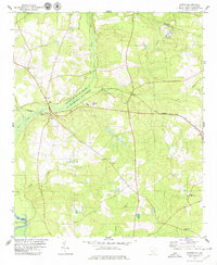
Editions of this 1979 Martin Map
2 editions found
Other maps of this area

1919 · Allendale
USGS Topo · 1:62,500

1920 · Ellenton
USGS Topo · 1:48,000

1920 · Hilltonia
USGS Topo · 1:62,500

1920 · Peeples
USGS Topo · 1:62,500

1921 · Ellenton
USGS Topo · 1:62,500

1943 · Allendale
USGS Topo · 1:62,500

1943 · Hilltonia
USGS Topo · 1:62,500

1943 · Peeples
USGS Topo · 1:62,500

1943 · Augusta East
USGS Topo · 1:125,000

1943 · Millen
USGS Topo · 1:125,000