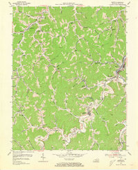
1954 Map of Martin
USGS Topo · Published 1973About this map
Deep in the coal country of Floyd County, the Chesapeake And Ohio railroad follows the winding path of Beaver Creek and the Right Fork, connecting a dense network of mountain settlements and company stations in the early 1950s. The landscape is characterized by its numerous hollows and branches, where local life was anchored by community landmarks such as Philadelphia Ch and the Stephens Br Sch. Many settlements here functioned as dual-named rail stops, including Langley (Maytown Sta), Alphoretta (Dinwood Sta), and Manton (Mars Sta), reflecting the vital link between the railroad and daily commerce. The mapping of this area relied heavily on coal company records and stereophotogrammetric methods, highlighting the industrial importance of places like Midas, Warco, and Northern during this era of intensive resource extraction and rail-dependent mountain life.
Find a feature on this map
112 named features on this map. Tap any name to fly to it.
Don’t see what you’re looking for? This feature index may not catch every label — zoom into the map to look around manually.
Map Details
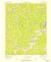
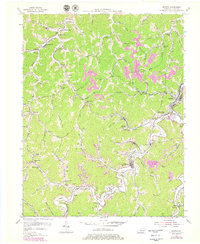
Editions of this 1954 Martin Map
3 editions found
Other maps of this area

1886 · Prestonsburg
USGS Topo · 1:125,000

1890 · Whitesburg
USGS Topo · 1:125,000

1892 · Whitesburg
USGS Topo · 1:125,000

1892 · Prestonsburg
USGS Topo · 1:125,000

1912 · Hindman
USGS Topo · 1:48,000

1914 · Laynesville
USGS Topo · 1:48,000

1914 · Vergie
USGS Topo · 1:48,000

1915 · Prestonsburg
USGS Topo · 1:62,500

1915 · Hindman
USGS Topo · 1:62,500

1916 · Harold
USGS Topo · 1:62,500