Loading...
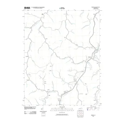
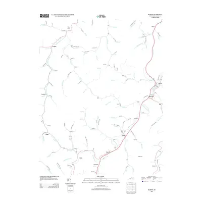
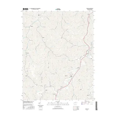
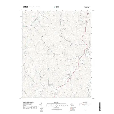
Loading map...1954 Map of Martin
USGS Topo · Published 1978About this map
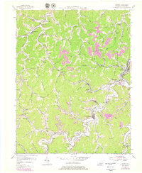
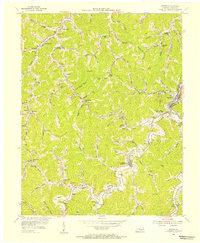
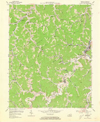
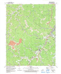
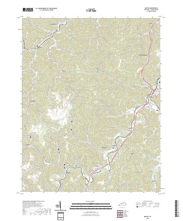
Chesapeake and Ohio railroad tracks follow the winding paths of Beaver Creek and its many forks, connecting the coal-rich hollows of Floyd County in the mid-1950s. The landscape is defined by its industrial activity, with several Strip Mines and individual mines dotting the ridges above settlements like Manton and Langley. This era shows a community deeply integrated with the rail line, evidenced by numerous combined station and settlement names such as Alphoretta and Samson Sta.
Find a feature on this map
117 named features on this map. Tap any name to fly to it.
Don’t see what you’re looking for? This feature index may not catch every label — zoom into the map to look around manually.
Map Details
Date Portrayed1954
Date Published1978
PublisherU.S. Geological Survey
Map TypeTopographic
Scale1:24,000
Physical Dimensions22.6 x 27.5 inches
Editions of this 1954 Martin Map
3 editions found
Historical Maps of Martin Through Time
7 maps found
Featured Locations
Source Details
SourceU.S. Geological Survey
CopyrightPublic Domain