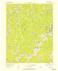
1954 Map of Martin
USGS Topo · Published 1955About this map
Martin and the surrounding coal mining communities of Floyd County are documented here during a period of industrial transit and local development. The Chesapeake And Ohio railroad snakes through the valleys, connecting mountain settlements like Alphoretta and Langley to the broader regional economy. The landscape is defined by its deep forks and branches, such as Lick Fork and Prater Fork, which dictate the placement of local infrastructure. Scattered throughout these drainages are numerous one-room schoolhouses and community landmarks, including Philadelphia Church and the Cold Springs School. Notable elevation points like Sloan Knob and Beech Knob tower over the network of small station stops such as Samson Station and Buckeye Station. This topography, based on surveys by the Consolidated Coal Company, reveals the intricate relationship between the region's extractive industry and its residential pockets.
Find a feature on this map
124 named features on this map. Tap any name to fly to it.
Don’t see what you’re looking for? This feature index may not catch every label — zoom into the map to look around manually.
Map Details
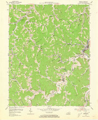
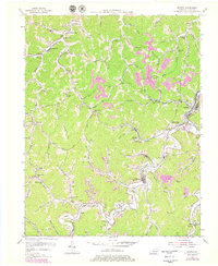
Editions of this 1954 Martin Map
3 editions found
Other maps of this area

1886 · Prestonsburg
USGS Topo · 1:125,000

1890 · Whitesburg
USGS Topo · 1:125,000

1892 · Whitesburg
USGS Topo · 1:125,000

1892 · Prestonsburg
USGS Topo · 1:125,000

1912 · Hindman
USGS Topo · 1:48,000

1914 · Laynesville
USGS Topo · 1:48,000

1914 · Vergie
USGS Topo · 1:48,000

1915 · Prestonsburg
USGS Topo · 1:62,500

1915 · Hindman
USGS Topo · 1:62,500

1916 · Harold
USGS Topo · 1:62,500