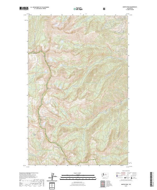
2023 Map of Martin Peak
USGS Topo · Published 2023About this map
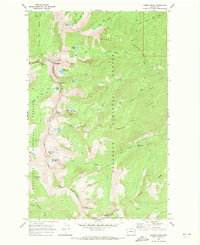
The Lake Chelan-Sawtooth Wilderness dominates this high-altitude landscape, where the jagged spine of Sawtooth Ridge divides the Okanogan National Forest from the Wenatchee National Forest. This survey details an intricate network of backcountry trails that connect subalpine basins and glacial cirques, including the Angel Staircase Trl and Summit Trail. The terrain is characterized by steep elevation changes between prominent summits like Martin Peak and Mt Bigelow, interspersed with clusters of high-mountain lakes.
Find a feature on this map
60 named features on this map. Tap any name to fly to it.
Don’t see what you’re looking for? This feature index may not catch every label — zoom into the map to look around manually.
Map Details
Editions of this 2023 Martin Peak Map
This is the sole edition of this map. No revisions or reprints were ever made.
Other maps of this area

1899 · Methow
USGS Topo · 1:125,000

1901 · Methow
USGS Topo · 1:125,000

1955 · Concrete
USGS Topo · 1:250,000

1958 · Concrete
USGS Topo · 1:250,000

1962 · Concrete
USGS Topo · 1:250,000

1968 · South Navarre Peak
USGS Topo · 1:24,000
1968 · Big Goat Mtn
USGS Topo · 1:24,000
1968 · Oss Peak
USGS Topo · 1:24,000
1968 · Hungry Mtn
USGS Topo · 1:24,000
1969 · Martin Peak
USGS Topo · 1:24,000