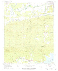
1963 Map of Martindale
USGS Topo · Published 1975About this map
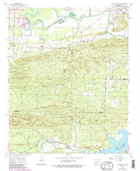
The Fourche La Fave River snakes through the northern lowlands of this 1963 landscape, defining the transition between the river bottom and the prominent ridges of Wye Mountain and Big Rock. In the south, the Maumelle River flows toward the rising waters of Lake Maumelle, where a Roadside Park sits near the spillway elevation. This era shows a scattered network of rural communities, including Martindale, Pleasant Valley, and Reece, connected by winding roads through the hollows.
Find a feature on this map
36 named features on this map. Tap any name to fly to it.
Don’t see what you’re looking for? This feature index may not catch every label — zoom into the map to look around manually.
Map Details
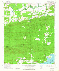
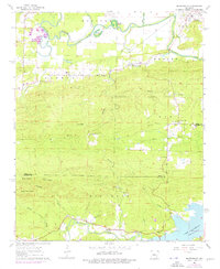
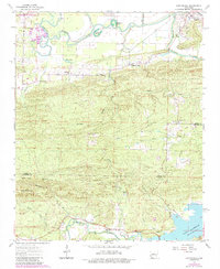
Editions of this 1963 Martindale Map
5 editions found
Other maps of this area

1889 · Morrilton No. 3
USGS Topo · 1:62,500

1890 · Benton
USGS Topo · 1:125,000

1892 · Morrillton
USGS Topo · 1:125,000

1894 · Morrillton
USGS Topo · 1:125,000

1894 · Benton
USGS Topo · 1:125,000

1955 · Little Rock
USGS Topo · 1:250,000

1956 · Little Rock
USGS Topo · 1:250,000

1956 · Russellville
USGS Topo · 1:250,000

1960 · Little Rock
USGS Topo · 1:250,000

1961 · Perryville
USGS Topo · 1:24,000