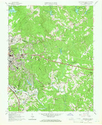
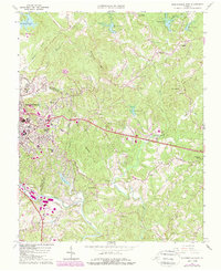
1964 Map of Martinsville East
USGS Topo · Published 1966About this map
The Smith River and the Norfolk and Western railway corridor anchor this 1964 survey of the Martinsville area. To the east, the landscape is defined by the winding Leatherwood Creek and its many tributaries, punctuated by rural landmarks like Dyers Store and the Patrick Henry Monument. The map documents a period of significant institutional footprint, featuring the University of Virginia (Patrick Henry Branch) and several local schools like Patrick Henry Sch and Druid Hills Sch.
Find a feature on this map
60 named features on this map. Tap any name to fly to it.
Don’t see what you’re looking for? This feature index may not catch every label — zoom into the map to look around manually.
Map Details
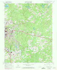
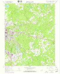
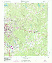
Editions of this 1964 Martinsville East Map
5 editions found
Other maps of this area

1922 · Callands
USGS Topo · 1:48,000

1924 · Martinsville
USGS Topo · 1:48,000

1924 · Draper
USGS Topo · 1:48,000

1924 · Callands
USGS Topo · 1:62,500

1925 · Rocky Mount
USGS Topo · 1:48,000

1926 · Martinsville
USGS Topo · 1:62,500

1926 · Draper
USGS Topo · 1:62,500

1927 · Rocky Mount
USGS Topo · 1:62,500

1927 · Martinsville
USGS Topo · 1:62,500

1944 · Martinsville
USGS Topo · 1:62,500