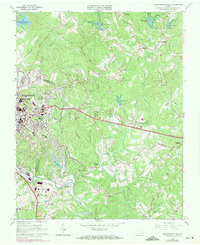
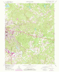
1964 Map of Martinsville East
USGS Topo · Published 1971About this map
The Smith River snakes through the southern reaches of this Henry County landscape, anchoring a region defined by industrial infrastructure and emerging academic centers in the mid-1960s. The city of Martinsville is a focal point of development, featuring the University of Virginia (Patrick Henry Branch) and the iconic Martinsville Speedway near the riverbank. Transport and industry are heavily represented by the Norfolk and Western and Southern railroad lines, which served the numerous textile and furniture facilities that powered the local economy during this era.
Find a feature on this map
54 named features on this map. Tap any name to fly to it.
Don’t see what you’re looking for? This feature index may not catch every label — zoom into the map to look around manually.
Map Details
Editions of this 1964 Martinsville East Map
5 editions found
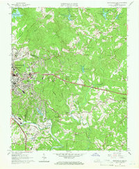
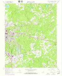
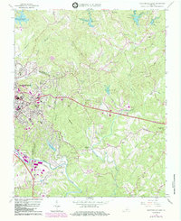
Other maps of this area

1922 · Callands
USGS Topo · 1:48,000

1924 · Martinsville
USGS Topo · 1:48,000

1924 · Draper
USGS Topo · 1:48,000

1924 · Callands
USGS Topo · 1:62,500

1925 · Rocky Mount
USGS Topo · 1:48,000

1926 · Martinsville
USGS Topo · 1:62,500

1926 · Draper
USGS Topo · 1:62,500

1927 · Rocky Mount
USGS Topo · 1:62,500

1927 · Martinsville
USGS Topo · 1:62,500

1944 · Martinsville
USGS Topo · 1:62,500