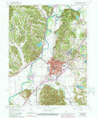
1965 Map of Martinsville
USGS Topo · Published 1989About this map
Martinsville serves as the focal point of this mid-century survey, situated at a bend in the White River where the river's path is defined by a series of prominent bluffs and ridges. The landscape is characterized by a mix of agricultural bottomlands and heavily wooded upland areas, notably the northern reaches of the Morgan-Monroe State Forest. Transportation networks converge on the city, including the Conrail rail line and local thoroughfares like Old Morgantown Rd, while smaller communities such as Hyndsdale and Prather sit on the periphery.
Find a feature on this map
82 named features on this map. Tap any name to fly to it.
Don’t see what you’re looking for? This feature index may not catch every label — zoom into the map to look around manually.
Map Details
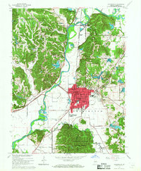
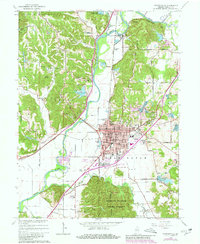
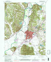
Editions of this 1965 Martinsville Map
4 editions found
Other maps of this area

1942 · Franklin
USGS Topo · 1:125,000

1948 · Hindustan
USGS Topo · 1:24,000

1948 · Morgantown
USGS Topo · 1:24,000

1950 · Morgantown
USGS Topo · 1:24,000

1953 · Indianapolis
USGS Topo · 1:250,000

1955 · Hall
USGS Topo · 1:24,000

1955 · Cope
USGS Topo · 1:24,000

1955 · Mooresville West
USGS Topo · 1:24,000

1955 · Martinsville
USGS Topo · 1:24,000

1955 · Mooresville East
USGS Topo · 1:24,000