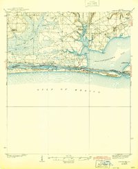
1938 Map of Mary Esther
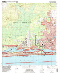
USGS Topo · Published 1944About this map
Choctawhatchee Bay and the narrow barrier of Santa Rosa Island anchor this mid-1930s survey of the Florida panhandle. The map captures a maritime landscape transitioning toward a military and tourist presence, evidenced by the Moreno Point Military Reservation and the Santa Rosa Island National Monument. Small coastal settlements like Fort Walton and Mary Esther sit along the Santa Rosa Sound, while further inland, the pine forests are marked by fire watch infrastructure including the Horse Branch BM Lookout Tower 102 and Pinchot Lookout Tower BM 83. Aviation is already taking hold at Valparaiso Landing Field and Lasater Fld. The northern interior is dominated by a complex network of bayous and creeks, such as Garnier Bayou and Alligator Cr, which fed the local water-based economy before the heavy expansion of the Coast Highway.
Find a feature on this map
39 named features on this map. Tap any name to fly to it.
Don’t see what you’re looking for? This feature index may not catch every label — zoom into the map to look around manually.
Map Details
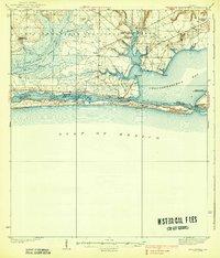
Editions of this 1938 Mary Esther Map
4 editions found

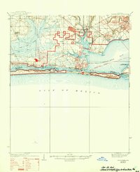
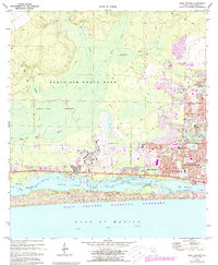
Historical Maps of Fort Walton Beach Through Time
9 maps found
1938 Mary Esther
Okaloosa County, FL
1970 Mary Esther
Okaloosa County, FL
1994 Mary Esther
Okaloosa County, FL

2012 Mary Esther
Okaloosa County, FL

2015 Mary Esther
Okaloosa County, FL

2018 Mary Esther
Okaloosa County, FL

2021 Mary Esther
Okaloosa County, FL

2024 Mary Esther
Okaloosa County, FL

2025 Mary Esther
Okaloosa County, FL