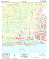
1970 Map of Mary Esther
USGS Topo · Published 1987About this map
Hurlburt Field dominates the central landscape of this 1970 survey, photorevised in 1987 to show the evolving suburban and military footprint of the Florida Panhandle. The map captures the rapid expansion of Fort Walton Beach and Wright, where dense residential street grids like Oakland Cir NW and Sikes Blvd press against the boundaries of Eglin Air Force Base. Along the waterfront, the coastal community of Mary Esther overlooks the Santa Rosa Sound, a stretch of the Intracoastal Waterway buffered by the protected dunes of the Gulf Islands National Seashore.
Find a feature on this map
45 named features on this map. Tap any name to fly to it.
Don’t see what you’re looking for? This feature index may not catch every label — zoom into the map to look around manually.
Map Details
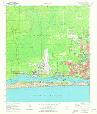
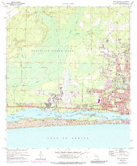
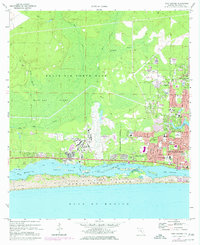
Editions of this 1970 Mary Esther Map
4 editions found
Other maps of this area

1921 · Holley
USGS Topo · 1:62,500

1934 · Holt
USGS Topo · 1:48,000

1934 · Harold
USGS Topo · 1:62,500

1936 · Holley
USGS Topo · 1:48,000

1937 · Holt
USGS Topo · 1:62,500

1937 · Harold
USGS Topo · 1:62,500

1938 · Mary Esther
USGS Topo · 1:62,500

1938 · Holley
USGS Topo · 1:62,500

1938 · Harold
USGS Topo · 1:62,500

1956 · Fort Walton Beach
USGS Topo · 1:62,500