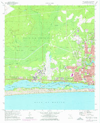
1970 Map of Mary Esther
USGS Topo · Published 1986About this map
Eglin Air Force Base dominates the northern and central landscape of this 1970s-era study, highlighted by the sprawling infrastructure of Aux Field No 9 and its associated runways. To the south, the community of Mary Esther and the expanding suburban blocks of Fort Walton Beach are separated from the Gulf of Mexico by the Santa Rosa Sound and the barrier dunes of Santa Rosa Island. The map documents a period of rapid development in Okaloosa County, with new residential streets like Bryn Mawr and Palmetto Ave pushing into the pine woods near the Military Reservation Boundary. Local social history is preserved in the location of Beal Cemetery, the Holy Trinity Ch, and several neighborhood schools including Wright Sch and Florosa Sch. The northern terrain remains largely undeveloped, defined by drainages like Alligator Creek and Turtle Creek flowing toward Cinco Bayou.
Find a feature on this map
62 named features on this map. Tap any name to fly to it.
Don’t see what you’re looking for? This feature index may not catch every label — zoom into the map to look around manually.
Map Details
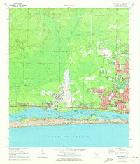
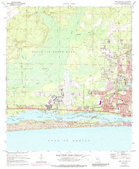
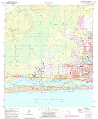
Editions of this 1970 Mary Esther Map
4 editions found
Other maps of this area

1921 · Holley
USGS Topo · 1:62,500

1934 · Holt
USGS Topo · 1:48,000

1934 · Harold
USGS Topo · 1:62,500

1936 · Holley
USGS Topo · 1:48,000

1937 · Holt
USGS Topo · 1:62,500

1937 · Harold
USGS Topo · 1:62,500

1938 · Mary Esther
USGS Topo · 1:62,500

1938 · Holley
USGS Topo · 1:62,500

1938 · Harold
USGS Topo · 1:62,500

1956 · Fort Walton Beach
USGS Topo · 1:62,500