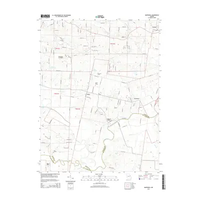
2015 Map of Maryknoll
USGS Topo · Published 2015About this map
The Cuivre River winds through the heart of this landscape along the border of Lincoln and St. Charles counties, anchoring a region of varied agricultural and residential development. In the northern reaches, Winfield and Fountain N' Lakes serve as local hubs, while smaller settlements like Ethlyn and Maryknoll are situated further south. The map documents several important genealogical sites, including the Rybolt Cemetery, Admire Cemetery, and Highland Prairie Cemetery, reflecting the area's deep-rooted community history.
Find a feature on this map
121 named features on this map. Tap any name to fly to it.
Don’t see what you’re looking for? This feature index may not catch every label — zoom into the map to look around manually.
Map Details
Editions of this 2015 Maryknoll Map
This is the sole edition of this map. No revisions or reprints were ever made.
Other maps of this area

1903 · O'Fallon
USGS Topo · 1:125,000

1930 · Hardin
USGS Topo · 1:62,500

1931 · Brussels
USGS Topo · 1:62,500

1934 · Elsberry
USGS Topo · 1:48,000

1934 · Hardin
USGS Topo · 1:62,500

1938 · Hardin
USGS Topo · 1:62,500

1939 · Brussels
USGS Topo · 1:62,500

1941 · Troy
USGS Topo · 1:62,500

1942 · Elsberry
USGS Topo · 1:62,500

1943 · Brussels
USGS Topo · 1:62,500