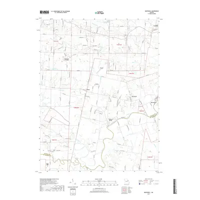
2017 Map of Maryknoll
USGS Topo · Published 2017About this map
The Cuivre River winds through this landscape near the boundary of Lincoln and St. Charles counties, defining the character of the riverfront communities at Chain of Rocks and Old Monroe. This 2017 survey reveals a mosaic of agricultural tracts and small-town growth, centered on the railroad town of Winfield and the residential clusters at Fountain N' Lakes. Local history and genealogy are preserved in the naming of rural sites such as Highland Prairie Cem and Riddle Cem, while the presence of Blackhawk Airport near Ethlyn marks the modernization of transportation in the area. Numerous creek systems like Big Creek and Brushy Fork cut through the terrain, illustrating the drainage patterns that have shaped land use and settlement since the nineteenth century.
Find a feature on this map
125 named features on this map. Tap any name to fly to it.
Don’t see what you’re looking for? This feature index may not catch every label — zoom into the map to look around manually.
Map Details
Editions of this 2017 Maryknoll Map
This is the sole edition of this map. No revisions or reprints were ever made.
Other maps of this area

1903 · O'Fallon
USGS Topo · 1:125,000

1930 · Hardin
USGS Topo · 1:62,500

1931 · Brussels
USGS Topo · 1:62,500

1934 · Elsberry
USGS Topo · 1:48,000

1934 · Hardin
USGS Topo · 1:62,500

1938 · Hardin
USGS Topo · 1:62,500

1939 · Brussels
USGS Topo · 1:62,500

1941 · Troy
USGS Topo · 1:62,500

1942 · Elsberry
USGS Topo · 1:62,500

1943 · Brussels
USGS Topo · 1:62,500