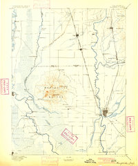
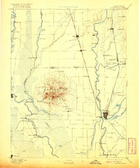
1895 Map of Marysville
USGS Topo · Published 1900About this map
Marysville Buttes dominate the center of this landscape, rising sharply from the surrounding alluvial plains of the Sacramento Valley. This 1886 survey, published in the 1890s, illustrates a region defined by its complex hydrology and early industrial infrastructure. The Levees of Spring Valley Mining Co indicate the scale of hydraulic mining interventions, while numerous river crossings like Moons Ferry and Dunns Ferry provide essential links between the burgeoning trade centers of Marysville and Yuba City.
Find a feature on this map
75 named features on this map. Tap any name to fly to it.
Don’t see what you’re looking for? This feature index may not catch every label — zoom into the map to look around manually.
Map Details
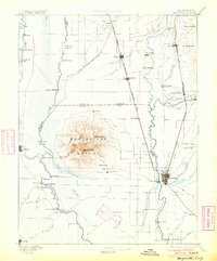
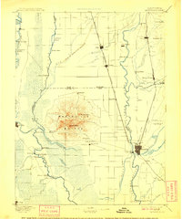
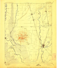
Editions of this 1895 Marysville Map
6 editions found

Other maps of this area

1888 · Marysville
USGS Topo · 1:125,000

1888 · Smartsville
USGS Topo · 1:125,000

1888 · Bidwell Bar
USGS Topo · 1:125,000

1891 · Bidwell Bar
USGS Topo · 1:125,000

1891 · Chico
USGS Topo · 1:125,000

1891 · Sacramento
USGS Topo · 1:125,000

1891 · Marysville
USGS Topo · 1:125,000

1891 · Smartsville
USGS Topo · 1:125,000

1892 · Sacramento
USGS Topo · 1:125,000

1892 · Smartsville
USGS Topo · 1:125,000