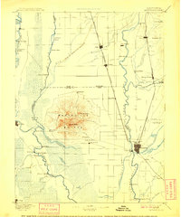
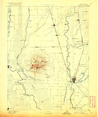
1895 Map of Marysville
USGS Topo · Published 1909About this map
The Marysville Buttes dominate the center of this landscape, rising sharply from the flat valley floor of the Sacramento River and Feather River basins. In the late nineteenth century, this region was a critical nexus of river transport and expanding rail lines. The Southern Pacific R.R. San Francisco and Portland Line connects a string of agricultural hubs including Gridley, Biggs, and Live Oak, while the Yuba River meets the Feather at the twin cities of Marysville and Yuba City.
Find a feature on this map
72 named features on this map. Tap any name to fly to it.
Don’t see what you’re looking for? This feature index may not catch every label — zoom into the map to look around manually.
Map Details
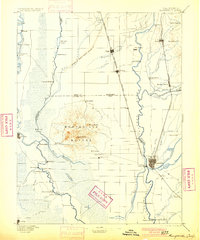
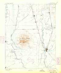
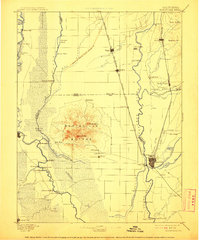
Editions of this 1895 Marysville Map
6 editions found

Other maps of this area

1888 · Marysville
USGS Topo · 1:125,000

1888 · Smartsville
USGS Topo · 1:125,000

1888 · Bidwell Bar
USGS Topo · 1:125,000

1891 · Bidwell Bar
USGS Topo · 1:125,000

1891 · Chico
USGS Topo · 1:125,000

1891 · Sacramento
USGS Topo · 1:125,000

1891 · Marysville
USGS Topo · 1:125,000

1891 · Smartsville
USGS Topo · 1:125,000

1892 · Sacramento
USGS Topo · 1:125,000

1892 · Smartsville
USGS Topo · 1:125,000