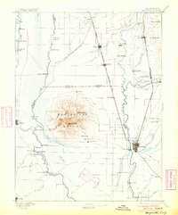
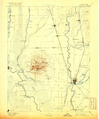
1895 Map of Marysville
USGS Topo · Published 1904About this map
The Marysville Buttes rise abruptly from the floor of the Sacramento Valley, dominating the center of this 1880s landscape. This volcanic formation is surrounded by a network of agricultural settlements and seasonal wetlands like the Butte Sink. To the east, the Feather River and Yuba River converge at the regional hubs of Marysville and Yuba City. The map documents a critical era of land management and industrial activity, specifically noting the Levees of Spring Valley Mining Co, which hint at the hydraulic mining history of the region.
Find a feature on this map
73 named features on this map. Tap any name to fly to it.
Don’t see what you’re looking for? This feature index may not catch every label — zoom into the map to look around manually.
Map Details
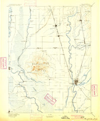
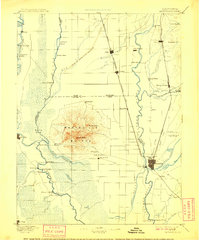
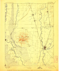
Editions of this 1895 Marysville Map
6 editions found

Other maps of this area

1888 · Marysville
USGS Topo · 1:125,000

1888 · Smartsville
USGS Topo · 1:125,000

1888 · Bidwell Bar
USGS Topo · 1:125,000

1891 · Bidwell Bar
USGS Topo · 1:125,000

1891 · Chico
USGS Topo · 1:125,000

1891 · Sacramento
USGS Topo · 1:125,000

1891 · Marysville
USGS Topo · 1:125,000

1891 · Smartsville
USGS Topo · 1:125,000

1892 · Sacramento
USGS Topo · 1:125,000

1892 · Smartsville
USGS Topo · 1:125,000