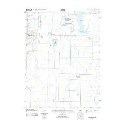
2011 Map of Maryville East
USGS Topo · Published 2011About this map
Maryville anchor’s this landscape, where the town’s eastern edge transitions into the managed hydrology of the One Hundred and Two River valley. The 2011 topography highlights a sophisticated system of water management, evidenced by the expansive Mozingo Lake and a network of reservoirs like Schimming Lake and Lochridge Farms Lake. These structures, along with the Maryville Waterworks, illustrate the infrastructure required to support the regional population and agricultural interests in Nodaway County.
Find a feature on this map
63 named features on this map. Tap any name to fly to it.
Don’t see what you’re looking for? This feature index may not catch every label — zoom into the map to look around manually.
Map Details
Editions of this 2011 Maryville East Map
This is the sole edition of this map. No revisions or reprints were ever made.
Other maps of this area

1925 · Stanberry
USGS Topo · 1:62,500

1927 · Bolckow
USGS Topo · 1:62,500

1939 · Stanberry
USGS Topo · 1:62,500

1940 · Parnell
USGS Topo · 1:62,500

1943 · Parnell
USGS Topo · 1:62,500

1943 · Maryville
USGS Topo · 1:62,500

1943 · Stanberry
USGS Topo · 1:62,500

1945 · Bolckow
USGS Topo · 1:62,500

1955 · Nebraska City
USGS Topo · 1:250,000

1957 · Nebraska City
USGS Topo · 1:250,000