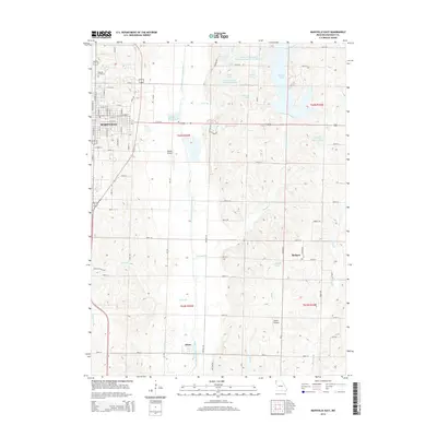
2014 Map of Maryville East
USGS Topo · Published 2014About this map
Maryville anchors the northwestern corner of this Missouri landscape, where the city's eastern reaches meet the agricultural heart of Nodaway County. The terrain is defined by the winding course of the One Hundred and Two River, which runs north-to-south through the center of the sheet, and the numerous small reservoirs and creeks that feed into it, including Mozingo Cr and Thill Br. Smaller settlements like Arkoe and Bedison are situated among the farm grids, connected by a network of rural routes such as Liberty Rd and Lion Rd. Local history is preserved at the Oak Hill Cemetery on the outskirts of Maryville. The presence of both Rankin Airport and Tallen Airport indicates the regional importance of aviation and light transport, while the Maryville Waterworks reflects the infrastructure supporting the county seat's growth during this era.
Find a feature on this map
50 named features on this map. Tap any name to fly to it.
Don’t see what you’re looking for? This feature index may not catch every label — zoom into the map to look around manually.
Map Details
Editions of this 2014 Maryville East Map
This is the sole edition of this map. No revisions or reprints were ever made.
Other maps of this area

1925 · Stanberry
USGS Topo · 1:62,500

1927 · Bolckow
USGS Topo · 1:62,500

1939 · Stanberry
USGS Topo · 1:62,500

1940 · Parnell
USGS Topo · 1:62,500

1943 · Parnell
USGS Topo · 1:62,500

1943 · Maryville
USGS Topo · 1:62,500

1943 · Stanberry
USGS Topo · 1:62,500

1945 · Bolckow
USGS Topo · 1:62,500

1955 · Nebraska City
USGS Topo · 1:250,000

1957 · Nebraska City
USGS Topo · 1:250,000