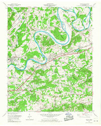
1966 Map of Mascot
USGS Topo · Published 1968About this map
Holston River meanders sharply through the heart of this East Tennessee landscape, defining the boundaries of Knox, Jefferson, and Grainger counties. The industrial character of Mascot is anchored by the Zinc Mine and its accompanying tailings pond, while the Southern Railway corridor parallels the Andrew Johnson Highway through Strawberry Plains. This mid-century survey captures a dense network of family-named landmarks and rural infrastructure, from the Mascot Substation to the Auto Speedway near Trentville. Genealogists will find an exceptional concentration of burial grounds, including the Johnson-Randles Cem and Moulden Cem, alongside community centers like the Bush Strong School. The terrain is marked by significant karst features such as Carter Cave and Caldwell Cave, as well as the prominent rise of Roderick Mountain to the southeast.
Find a feature on this map
88 named features on this map. Tap any name to fly to it.
Don’t see what you’re looking for? This feature index may not catch every label — zoom into the map to look around manually.
Map Details
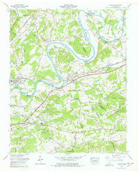
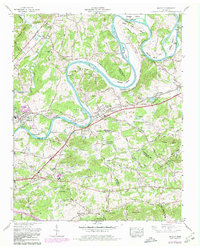
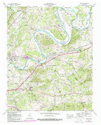
Editions of this 1966 Mascot Map
4 editions found
Other maps of this area

1886 · Knoxville
USGS Topo · 1:125,000

1892 · Knoxville
USGS Topo · 1:125,000

1894 · Knoxville
USGS Topo · 1:125,000

1895 · Knoxville
USGS Topo · 1:125,000

1897 · Maynardville
USGS Topo · 1:125,000

1900 · Maynardville
USGS Topo · 1:125,000

1901 · Knoxville
USGS Topo · 1:125,000

1935 · Luttrell
USGS Topo · 1:24,000

1935 · Mascot
USGS Topo · 1:24,000

1935 · Knoxville
USGS Topo · 1:48,000