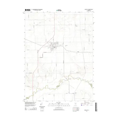
2015 Map of Mason City
USGS Topo · Published 2015About this map
Mason City serves as the central hub of this Central Illinois landscape, where a dense residential grid meets the expansive agricultural fields of the prairie. The town's layout is defined by a traditional street plan featuring named thoroughfares like W Roosevelt St, E Walnut St, and S Main ST. Beyond the city limits, the terrain is shaped by the meandering course of Salt Creek, which forms much of the boundary between Mason Co and Menard Co. This riparian corridor is marked by the Hubly Bridge and the small settlement of Hubly to the south.
Find a feature on this map
57 named features on this map. Tap any name to fly to it.
Don’t see what you’re looking for? This feature index may not catch every label — zoom into the map to look around manually.
Map Details
Editions of this 2015 Mason City Map
This is the sole edition of this map. No revisions or reprints were ever made.
Other maps of this area

1929 · Manito
USGS Topo · 1:62,500

1932 · Manito
USGS Topo · 1:62,500

1933 · Petersburg
USGS Topo · 1:62,500

1938 · Petersburg
USGS Topo · 1:62,500

1942 · Delavan
USGS Topo · 1:62,500

1948 · Mason City
USGS Topo · 1:62,500

1949 · Mason City
USGS Topo · 1:62,500

1958 · Peoria
USGS Topo · 1:250,000

1961 · Peoria
USGS Topo · 1:250,000

1963 · Peoria
USGS Topo · 1:250,000