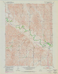
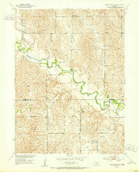
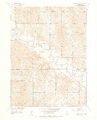
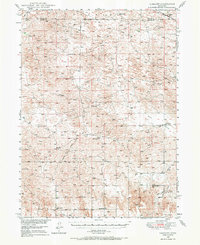
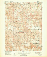
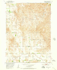
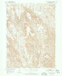
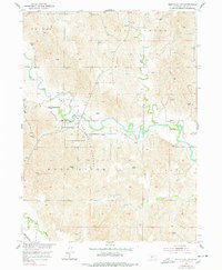
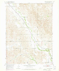
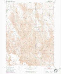
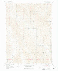
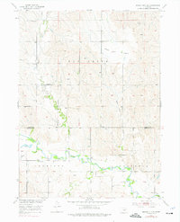
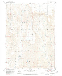
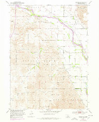
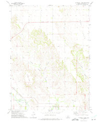
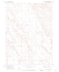
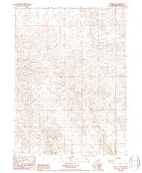
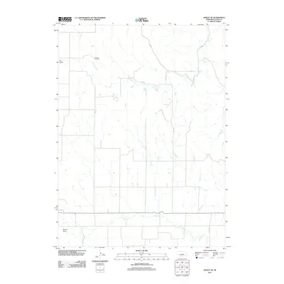
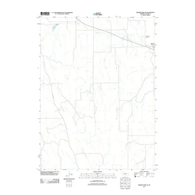
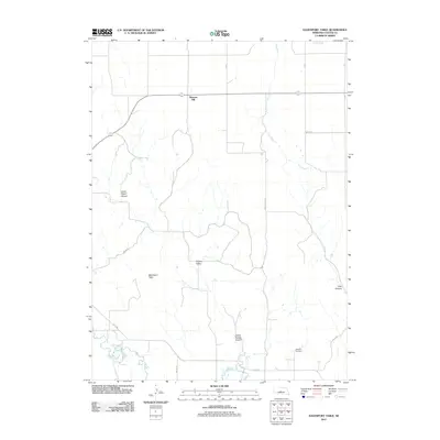
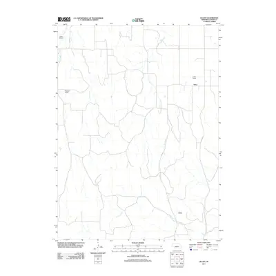
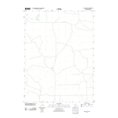
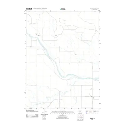
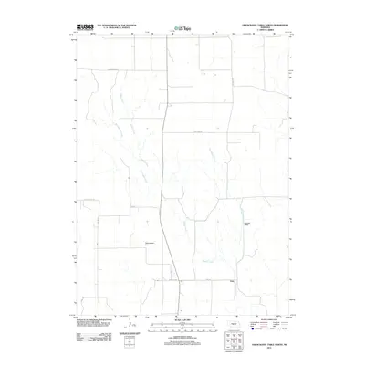
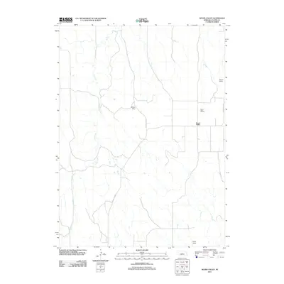
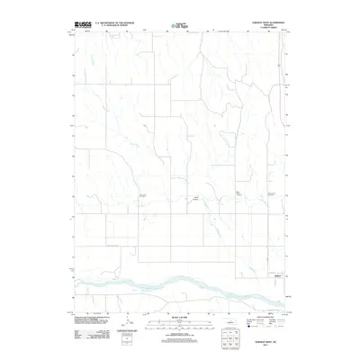
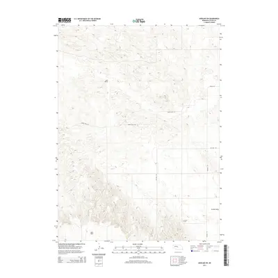
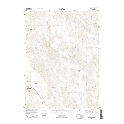
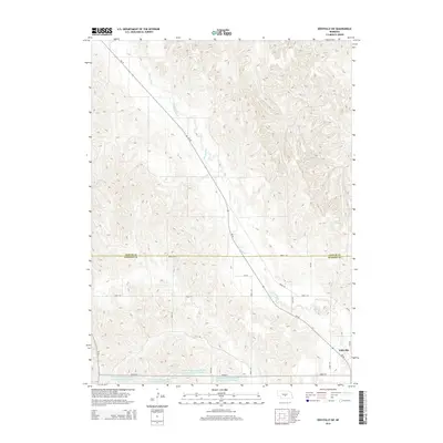
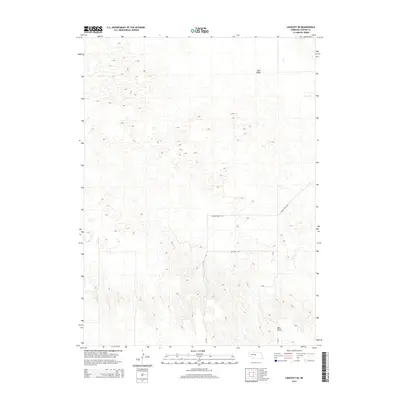
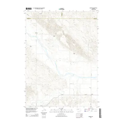
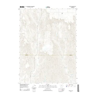
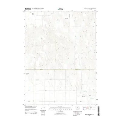
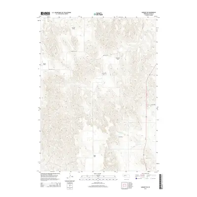
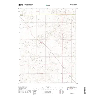
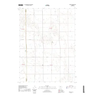
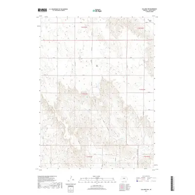
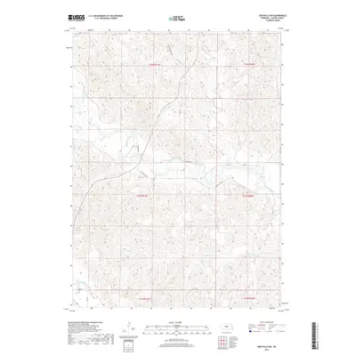
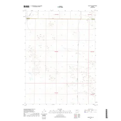
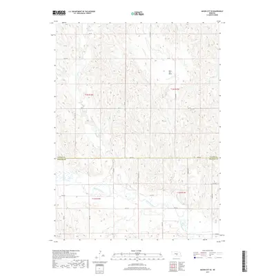
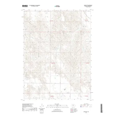
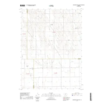
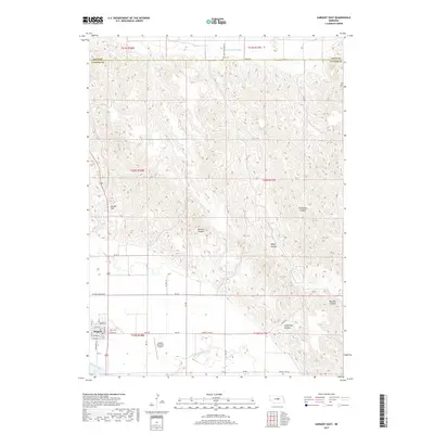
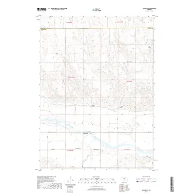
1951 Map of Mason City SW
USGS Topo · Published 1978About this map
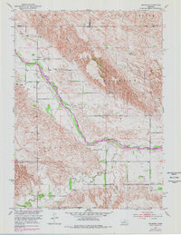
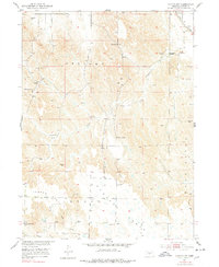
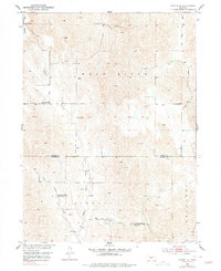
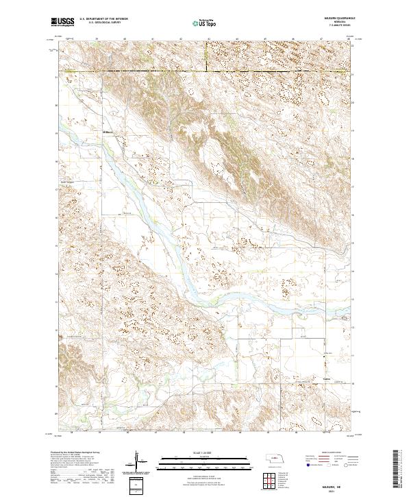
The South Loup River meanders through the heart of Custer and Dawson counties, defining a landscape of broad river valleys and upland pastures. This 1951 survey, with 1970s revisions, provides a clear view of a rural Nebraska community where schools like Sunny Slope Sch and Victory Hill Sch served as local anchors. The map reveals the precise intersection of county lines, where Custer, Dawson, and Buffalo counties meet near the Milton Store and a Gaging Sta along the riverbank.
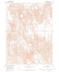
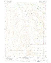
Find a feature on this map
22 named features on this map. Tap any name to fly to it.
Don’t see what you’re looking for? This feature index may not catch every label — zoom into the map to look around manually.
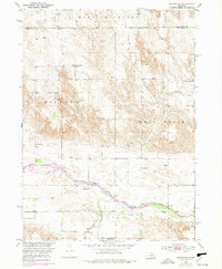
Map Details
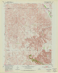
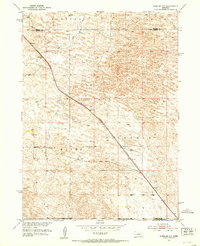
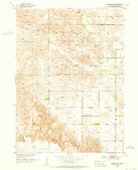
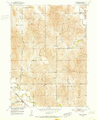
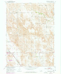
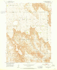
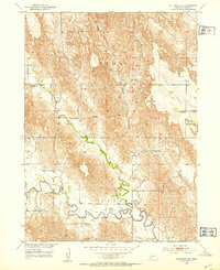
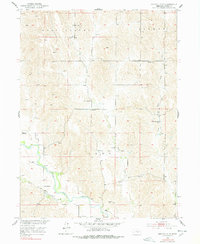
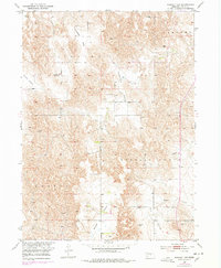
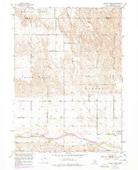
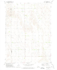
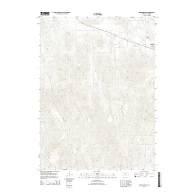
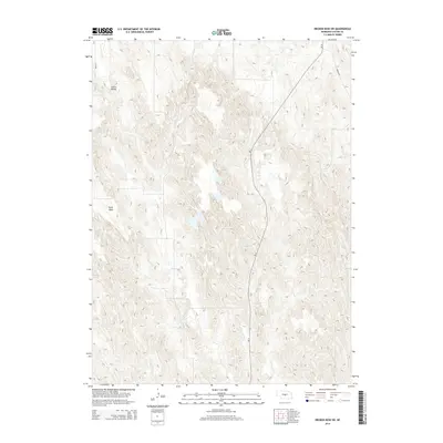
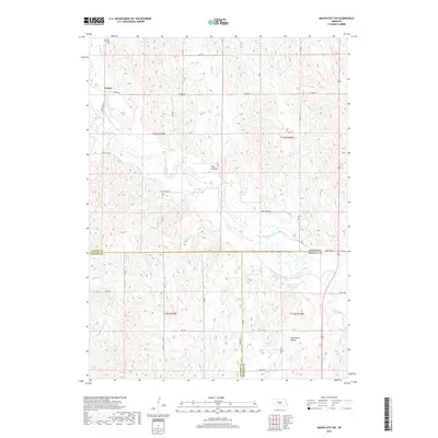
Editions of this 1951 Mason City SW Map
3 editions found
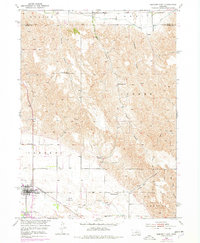
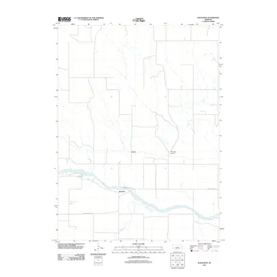
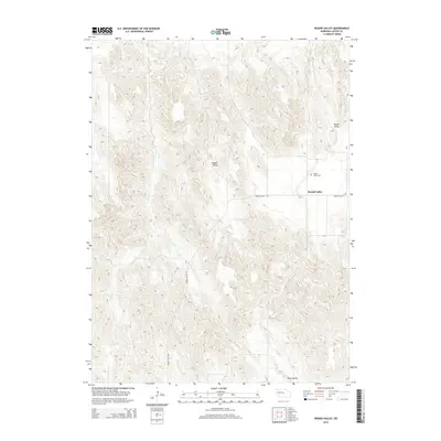
Historical Maps of Cumro Through Time
192 maps found
1948 Linscott
Custer County, NE
1950 Linscott
Custer County, NE
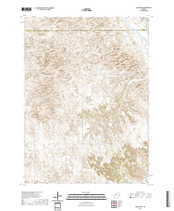
1951 Anselmo NE
Custer County, NE
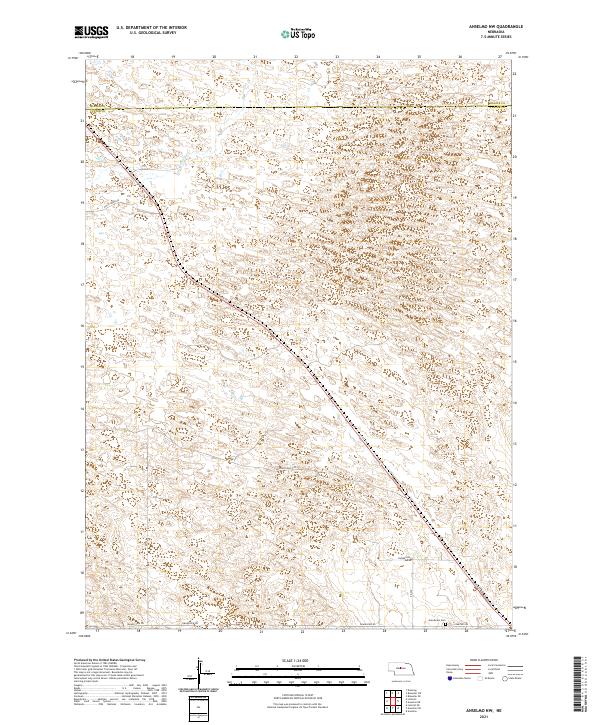
1951 Anselmo NW
Custer County, NE
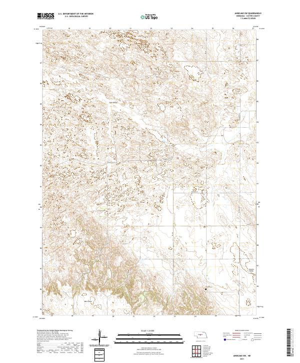
1951 Anselmo SW
Custer County, NE
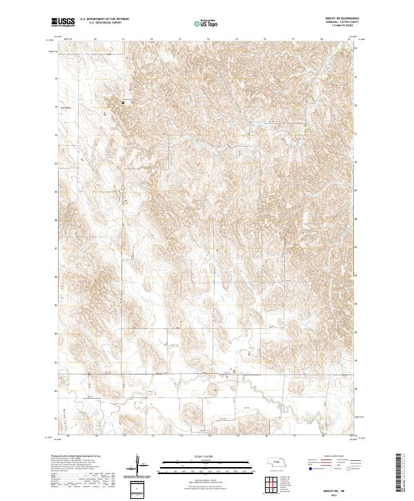
1951 Ansley NE
Custer County, NE
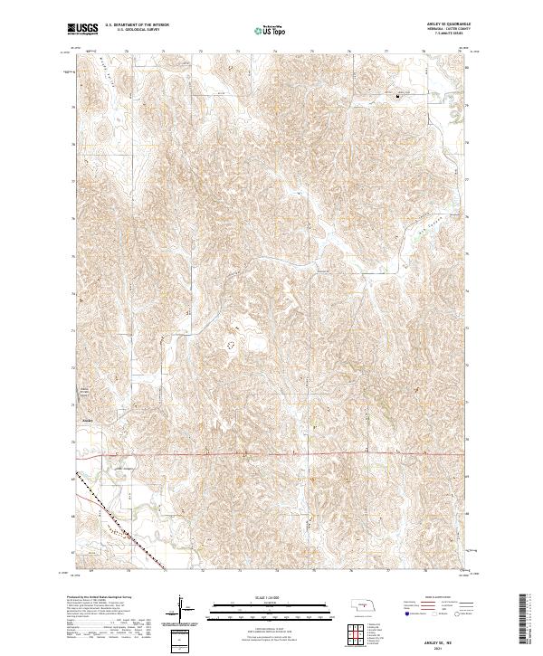
1951 Ansley SE
Custer County, NE
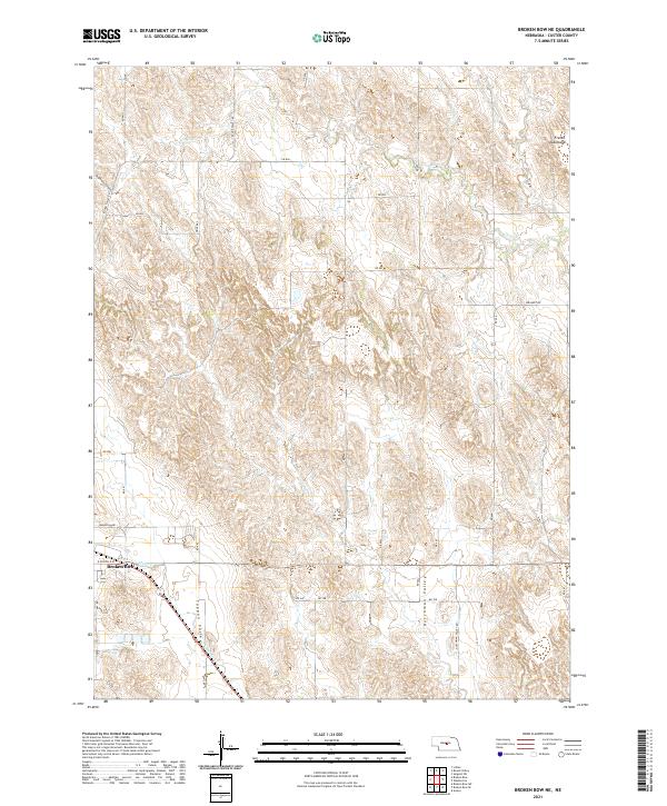
1951 Broken Bow NE
Custer County, NE
1951 Broken Bow SE
Custer County, NE
1951 Broken Bow SW
Custer County, NE
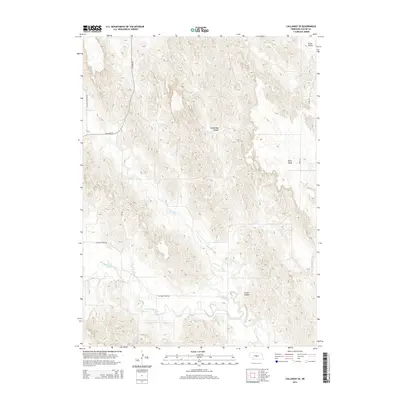
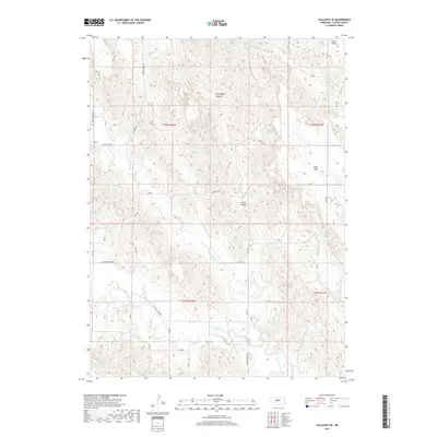
1951 Callaway NW
Custer County, NE
1951 Callaway SE
Custer County, NE
1951 Eddyville NE
Custer County, NE
1951 Eddyville NW
Custer County, NE
1951 Eddyville SW
Custer County, NE
1951 Lillian
Custer County, NE
1951 Mason City NW
Custer County, NE
1951 Mason City SE
Custer County, NE
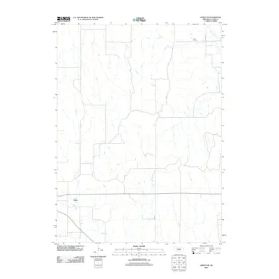
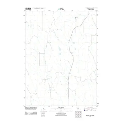
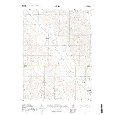
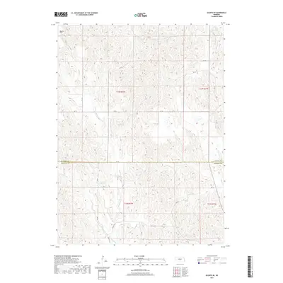
1951 Mason City SW
Custer County, NE
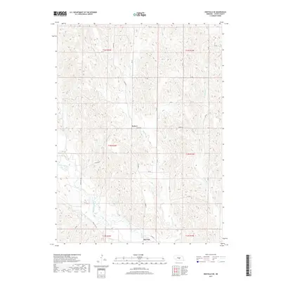
1951 Milburn
Custer County, NE
1951 Oconto NW
Custer County, NE
1951 Oconto SE
Custer County, NE
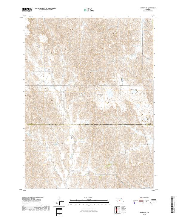
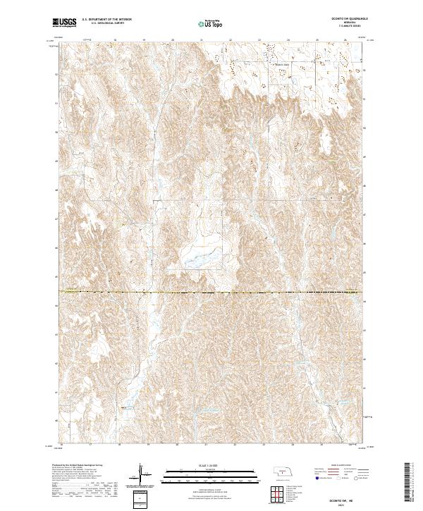
1951 Oconto SW
Custer County, NE
1951 Round Valley
Custer County, NE
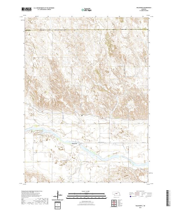
1951 Walworth
Custer County, NE
1952 Sargent East
Custer County, NE
1952 Sargent SE
Custer County, NE
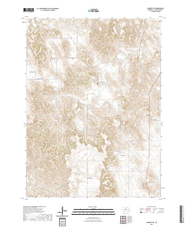
1952 Sargent SW
Custer County, NE
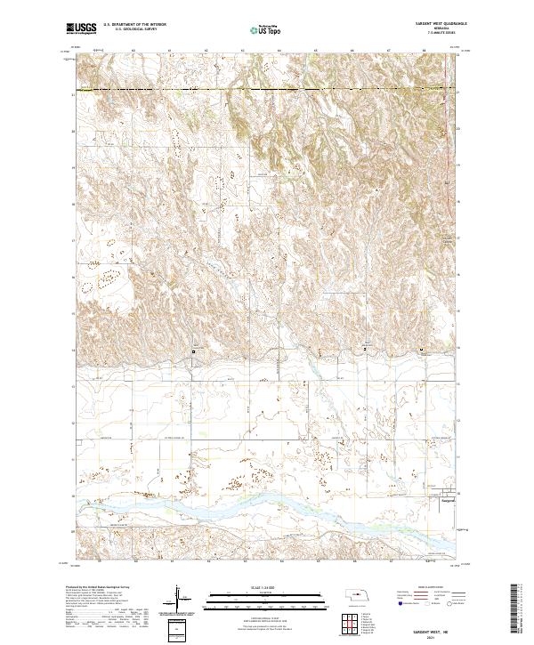
1952 Sargent West
Custer County, NE
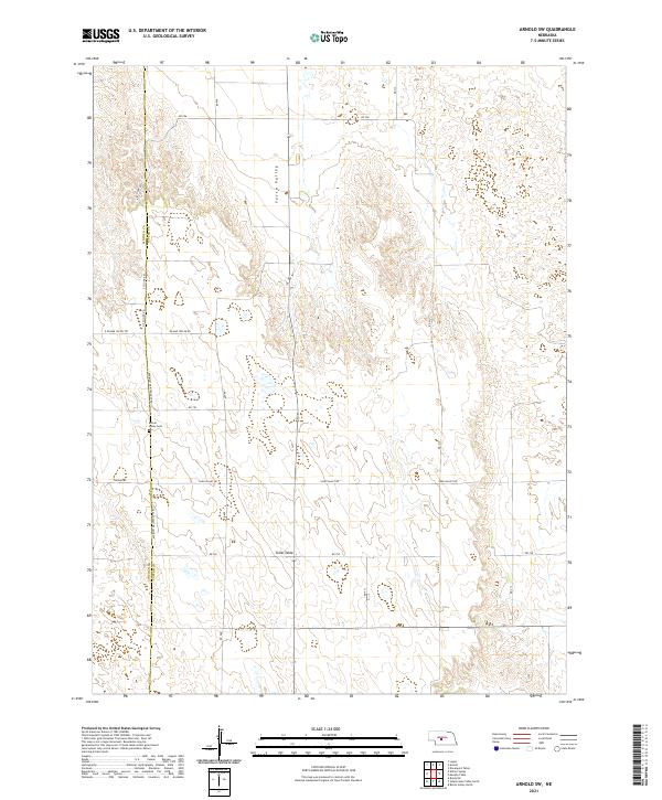
1972 Arnold SW
Custer County, NE
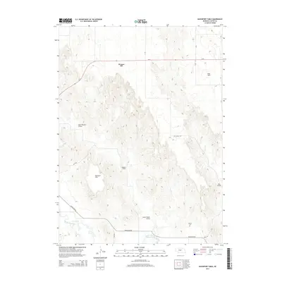
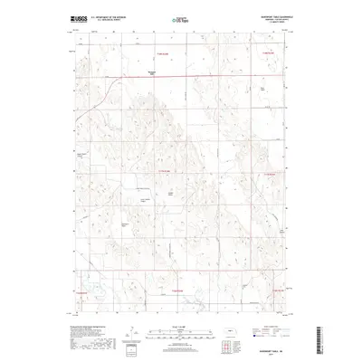
1972 Davenport Table
Custer County, NE
1972 Murphy Table
Custer County, NE
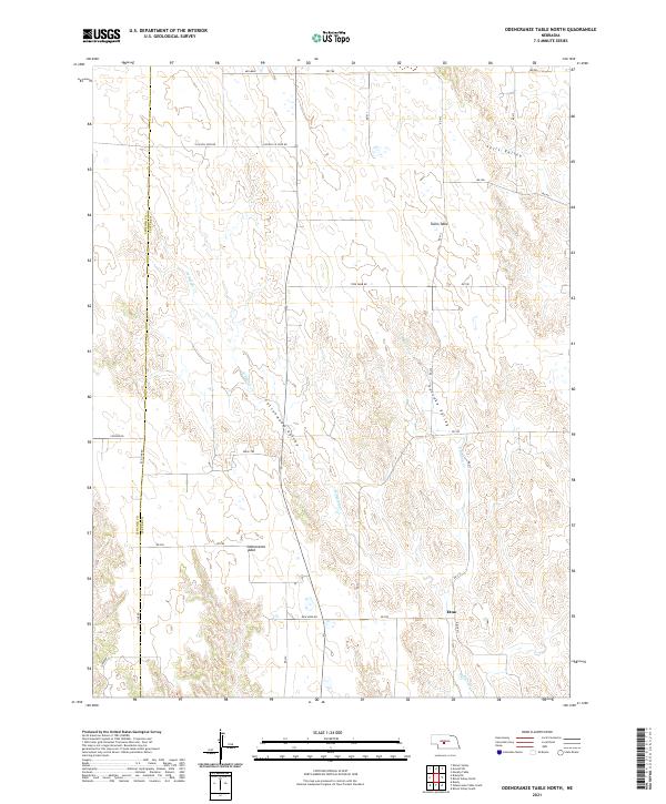
1972 Odencranze Table North
Custer County, NE
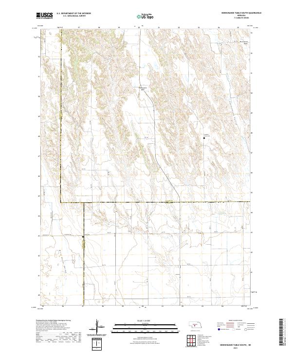
1972 Odencranze Table South
Custer County, NE
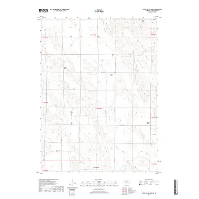
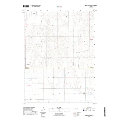
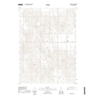
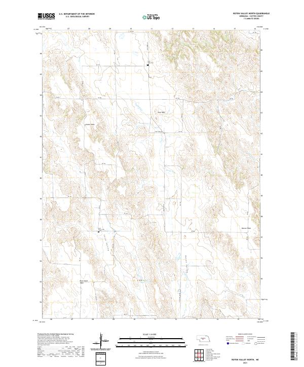
1972 Roten Valley North
Custer County, NE
1972 Roten Valley South
Custer County, NE
1986 Linscott
Custer County, NE

1986 Linscott NW
Custer County, NE
1986 Linscott SE
Custer County, NE
1986 Linscott SW
Custer County, NE
2011 Anselmo NE
Custer County, NE
2011 Anselmo NW
Custer County, NE
2011 Anselmo SW
Custer County, NE
2011 Ansley NE
Custer County, NE
2011 Ansley SE
Custer County, NE
2011 Arnold SW
Custer County, NE
2011 Broken Bow NE
Custer County, NE
2011 Broken Bow SE
Custer County, NE
2011 Broken Bow SW
Custer County, NE
2011 Callaway NW
Custer County, NE
2011 Callaway SE
Custer County, NE
2011 Davenport Table
Custer County, NE
2011 Eddyville NE
Custer County, NE
2011 Eddyville NW
Custer County, NE
2011 Eddyville SW
Custer County, NE
2011 Lillian
Custer County, NE
2011 Linscott
Custer County, NE
2011 Linscott NW
Custer County, NE
2011 Linscott SE
Custer County, NE
2011 Linscott SW
Custer County, NE
2011 Mason City NW
Custer County, NE
2011 Mason City SE
Custer County, NE
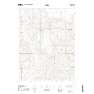
2011 Mason City SW
Custer County, NE
2011 Milburn
Custer County, NE

2011 Murphy Table
Custer County, NE
2011 Oconto NW
Custer County, NE
2011 Oconto SE
Custer County, NE
2011 Oconto SW
Custer County, NE
2011 Odencranze Table North
Custer County, NE
2011 Odencranze Table South
Custer County, NE
2011 Roten Valley North
Custer County, NE
2011 Roten Valley South
Custer County, NE
2011 Round Valley
Custer County, NE
2011 Sargent East
Custer County, NE
2011 Sargent SE
Custer County, NE
2011 Sargent SW
Custer County, NE
2011 Sargent West
Custer County, NE
2011 Walworth
Custer County, NE
2014 Anselmo NE
Custer County, NE
2014 Anselmo NW
Custer County, NE
2014 Anselmo SW
Custer County, NE
2014 Ansley NE
Custer County, NE
2014 Ansley SE
Custer County, NE
2014 Arnold SW
Custer County, NE
2014 Broken Bow NE
Custer County, NE
2014 Broken Bow SE
Custer County, NE
2014 Broken Bow SW
Custer County, NE
2014 Callaway NW
Custer County, NE
2014 Callaway SE
Custer County, NE
2014 Davenport Table
Custer County, NE
2014 Eddyville NE
Custer County, NE
2014 Eddyville NW
Custer County, NE
2014 Eddyville SW
Custer County, NE
2014 Lillian
Custer County, NE
2014 Linscott
Custer County, NE
2014 Linscott NW
Custer County, NE
2014 Linscott SE
Custer County, NE
2014 Linscott SW
Custer County, NE
2014 Mason City NW
Custer County, NE

2014 Mason City SE
Custer County, NE
2014 Mason City SW
Custer County, NE
2014 Milburn
Custer County, NE
2014 Murphy Table
Custer County, NE
2014 Oconto NW
Custer County, NE
2014 Oconto SE
Custer County, NE
2014 Oconto SW
Custer County, NE
2014 Odencranze Table North
Custer County, NE
2014 Odencranze Table South
Custer County, NE
2014 Roten Valley North
Custer County, NE
2014 Roten Valley South
Custer County, NE
2014 Round Valley
Custer County, NE
2014 Sargent East
Custer County, NE
2014 Sargent SE
Custer County, NE
2014 Sargent SW
Custer County, NE
2014 Sargent West
Custer County, NE
2014 Walworth
Custer County, NE
2017 Anselmo NE
Custer County, NE
2017 Anselmo NW
Custer County, NE
2017 Anselmo SW
Custer County, NE
2017 Ansley NE
Custer County, NE
2017 Ansley SE
Custer County, NE
2017 Arnold SW
Custer County, NE
2017 Broken Bow NE
Custer County, NE
2017 Broken Bow SE
Custer County, NE
2017 Broken Bow SW
Custer County, NE
2017 Callaway NW
Custer County, NE
2017 Callaway SE
Custer County, NE
2017 Davenport Table
Custer County, NE
2017 Eddyville NE
Custer County, NE
2017 Eddyville NW
Custer County, NE
2017 Eddyville SW
Custer County, NE
2017 Lillian
Custer County, NE
2017 Linscott
Custer County, NE
2017 Linscott NW
Custer County, NE
2017 Linscott SE
Custer County, NE
2017 Linscott SW
Custer County, NE
2017 Mason City NW
Custer County, NE
2017 Mason City SE
Custer County, NE
2017 Mason City SW
Custer County, NE
2017 Milburn
Custer County, NE
2017 Murphy Table
Custer County, NE
2017 Oconto NW
Custer County, NE
2017 Oconto SE
Custer County, NE
2017 Oconto SW
Custer County, NE
2017 Odencranze Table North
Custer County, NE
2017 Odencranze Table South
Custer County, NE
2017 Roten Valley North
Custer County, NE
2017 Roten Valley South
Custer County, NE
2017 Round Valley
Custer County, NE
2017 Sargent East
Custer County, NE
2017 Sargent SE
Custer County, NE
2017 Sargent SW
Custer County, NE
2017 Sargent West
Custer County, NE
2017 Walworth
Custer County, NE
2021 Anselmo NE
Custer County, NE
2021 Anselmo NW
Custer County, NE
2021 Anselmo SW
Custer County, NE
2021 Ansley NE
Custer County, NE
2021 Ansley SE
Custer County, NE
2021 Arnold SW
Custer County, NE
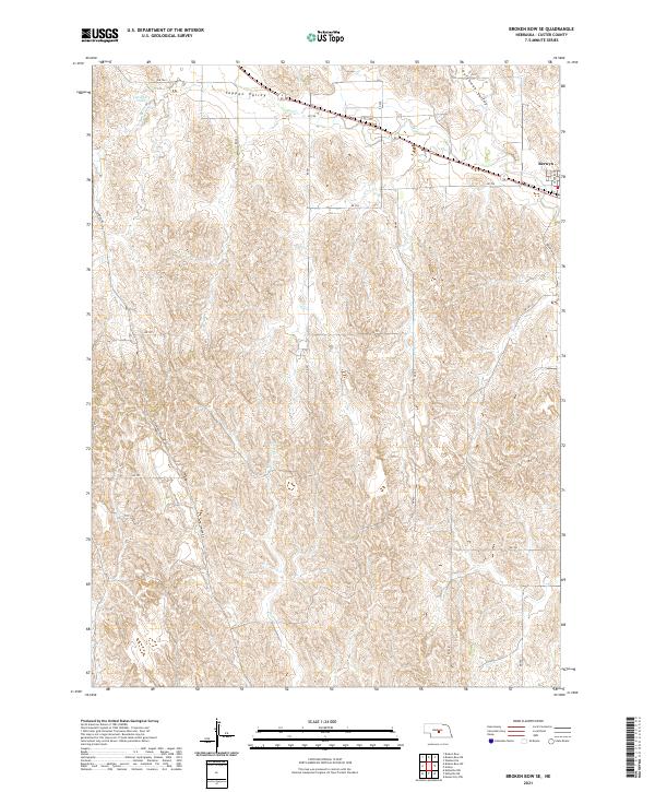
2021 Broken Bow NE
Custer County, NE
2021 Broken Bow SE
Custer County, NE
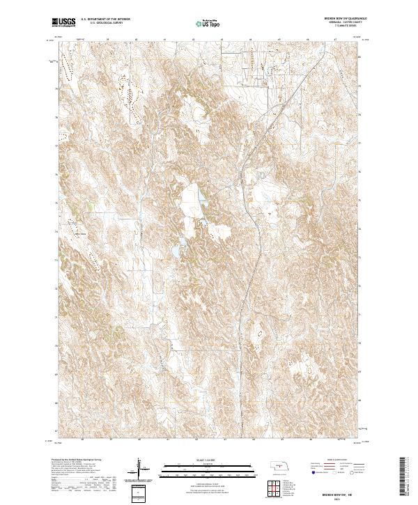
2021 Broken Bow SW
Custer County, NE
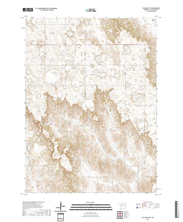
2021 Callaway NW
Custer County, NE
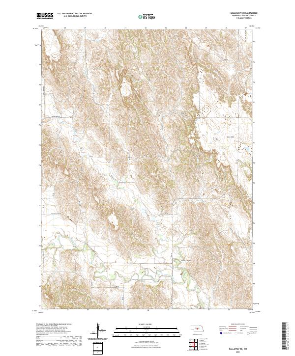
2021 Callaway SE
Custer County, NE
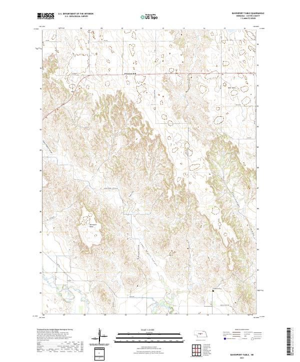
2021 Davenport Table
Custer County, NE
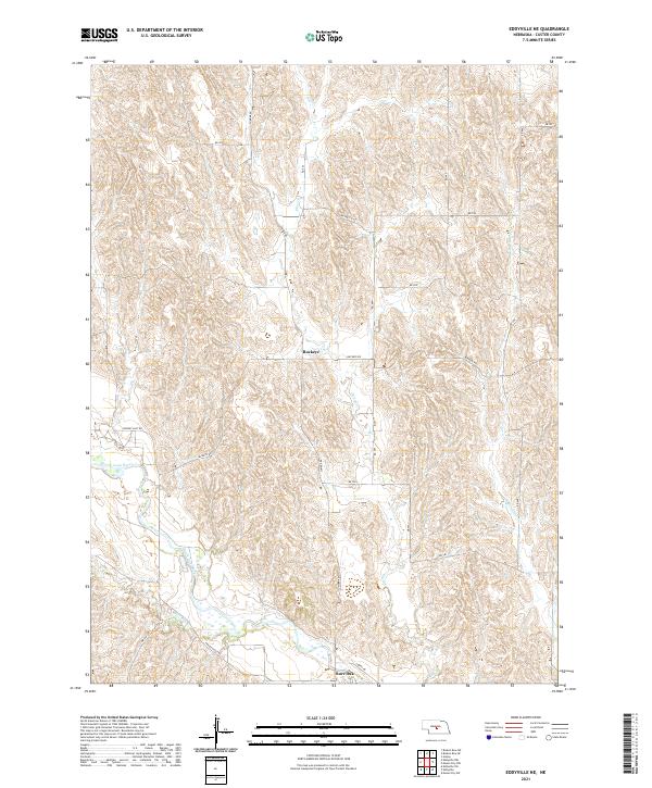
2021 Eddyville NE
Custer County, NE
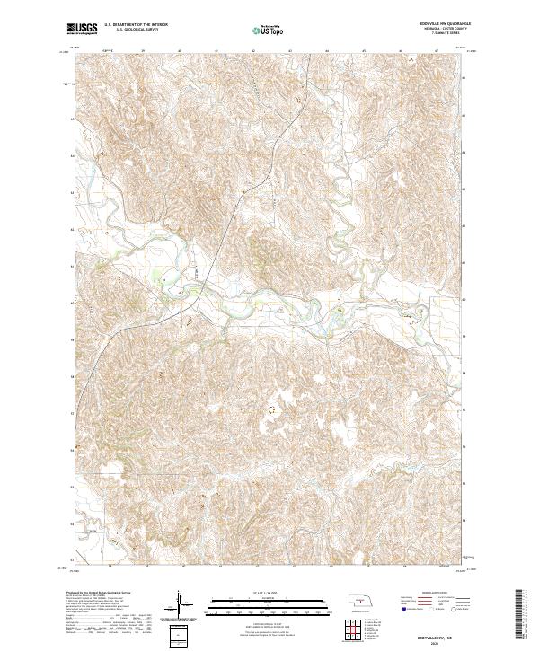
2021 Eddyville NW
Custer County, NE
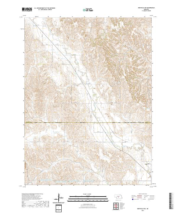
2021 Eddyville SW
Custer County, NE
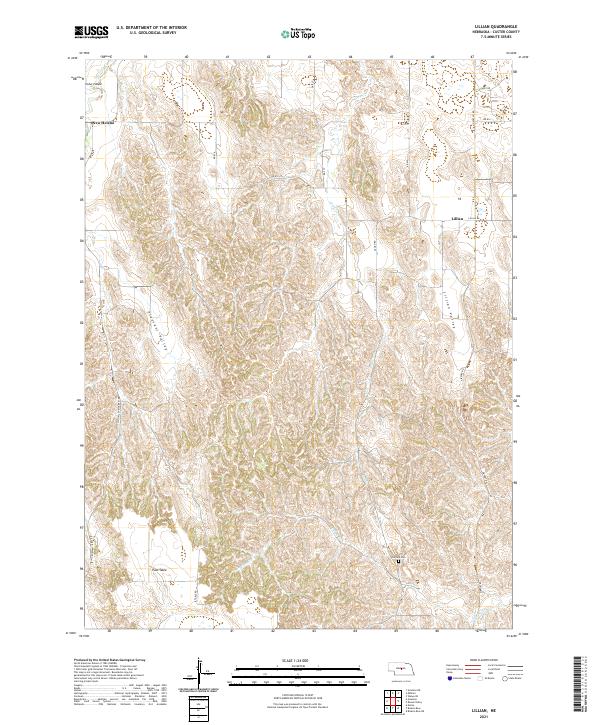
2021 Lillian
Custer County, NE
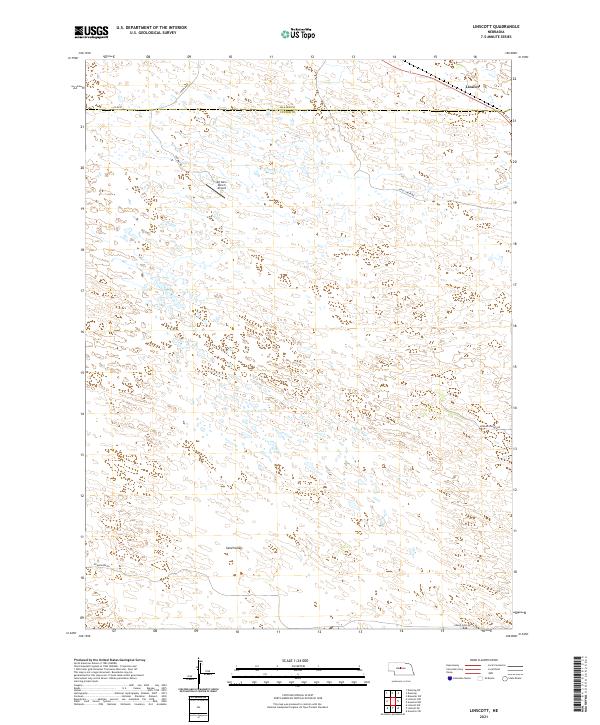
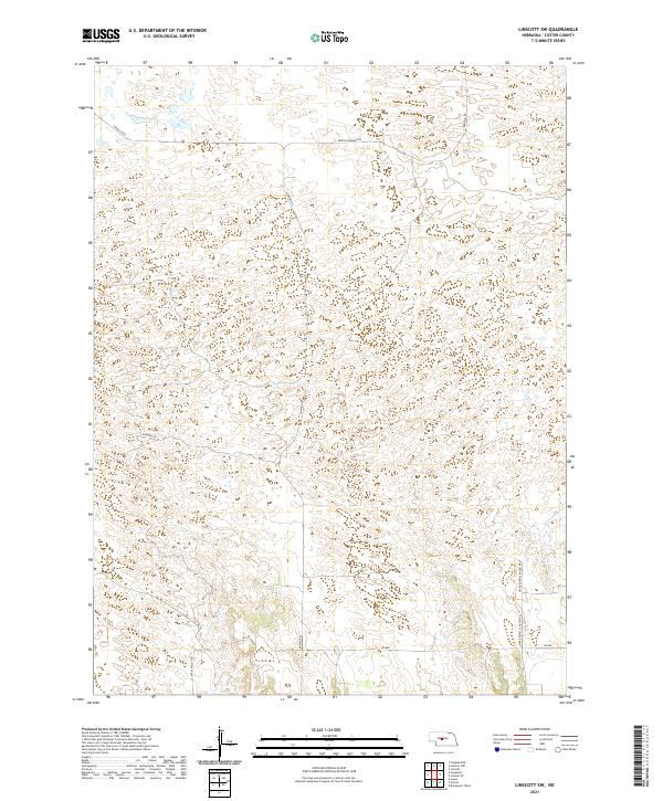
2021 Linscott
Custer County, NE
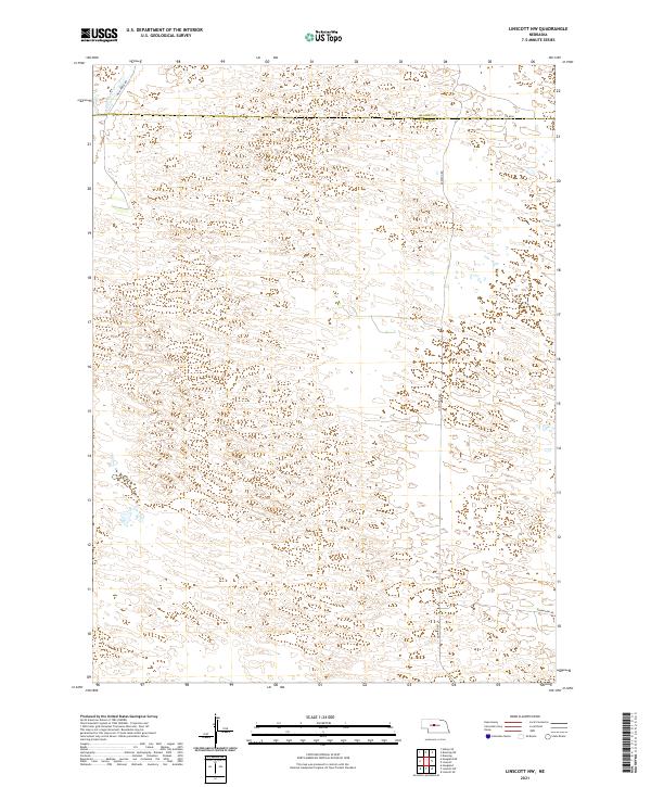
2021 Linscott NW
Custer County, NE
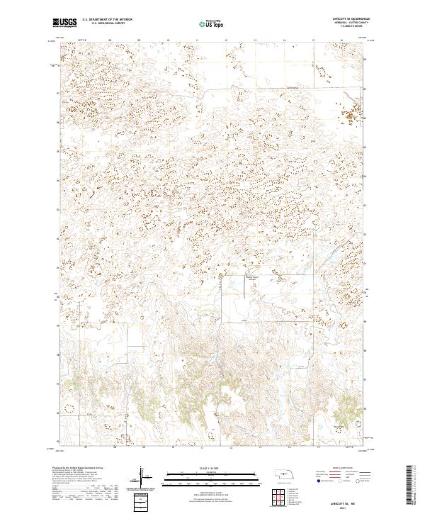
2021 Linscott SE
Custer County, NE
2021 Linscott SW
Custer County, NE
2021 Mason City NW
Custer County, NE
2021 Mason City SE
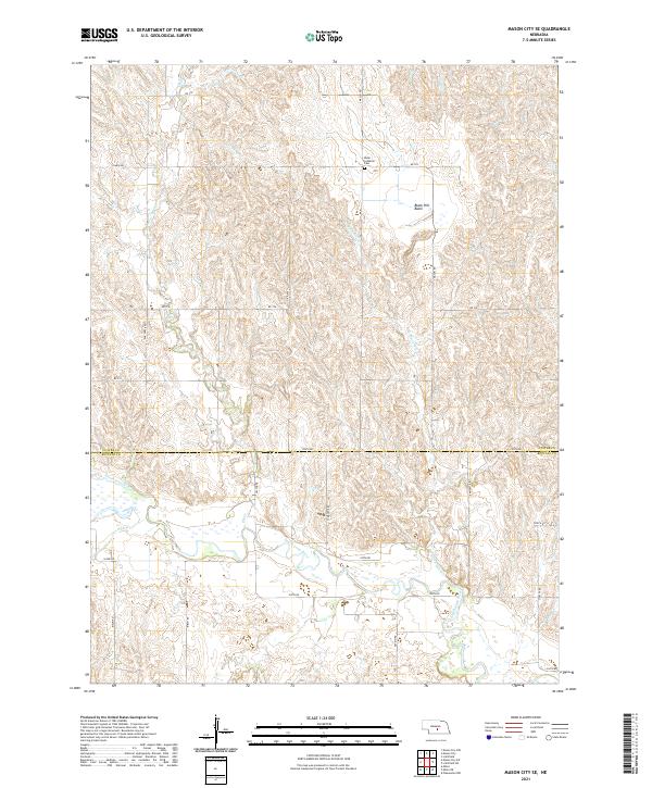
Custer County, NE
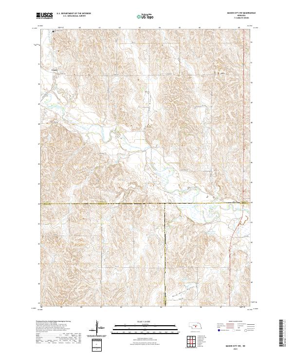
2021 Mason City SW
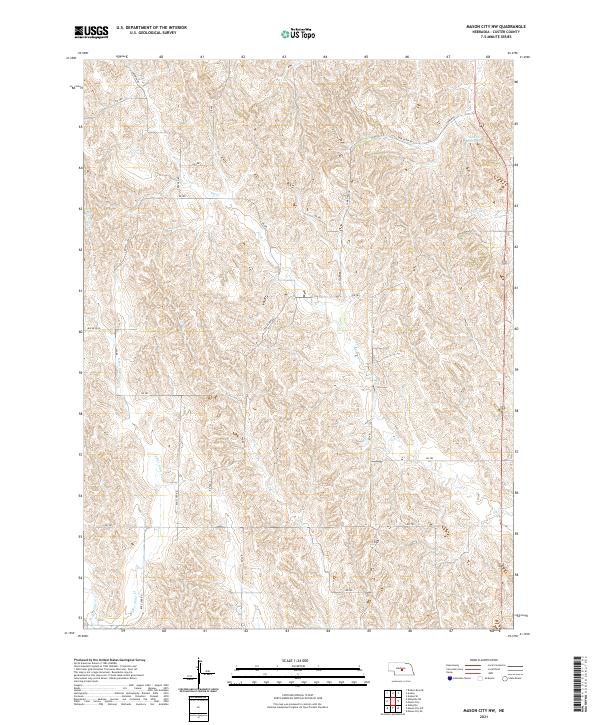
Custer County, NE
2021 Milburn
Custer County, NE
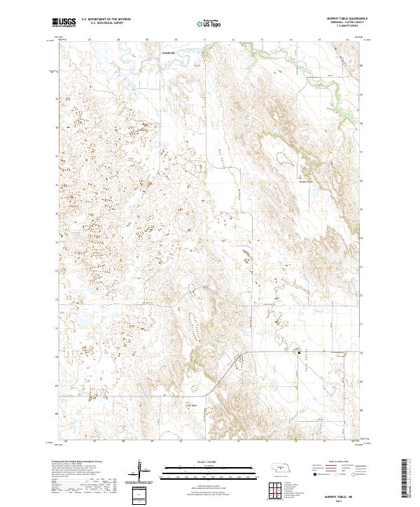
2021 Murphy Table
Custer County, NE
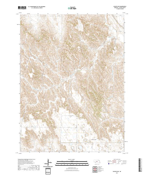
2021 Oconto NW
Custer County, NE
2021 Oconto SE
Custer County, NE
2021 Oconto SW
Custer County, NE
2021 Odencranze Table North
Custer County, NE
2021 Odencranze Table South
Custer County, NE
2021 Roten Valley North
Custer County, NE
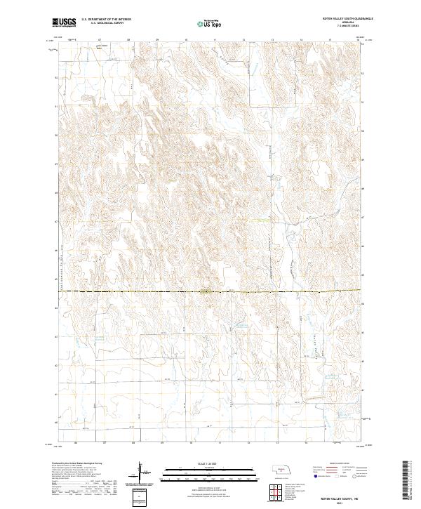
2021 Roten Valley South
Custer County, NE
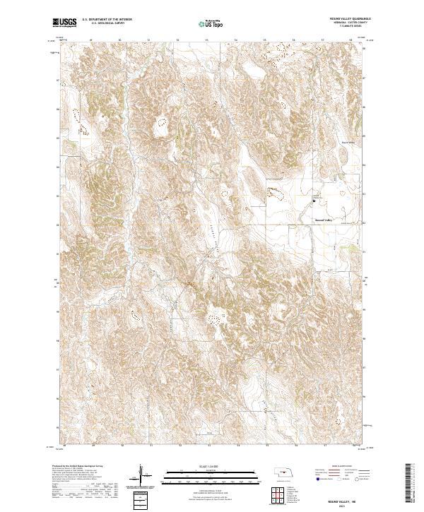
2021 Round Valley
Custer County, NE
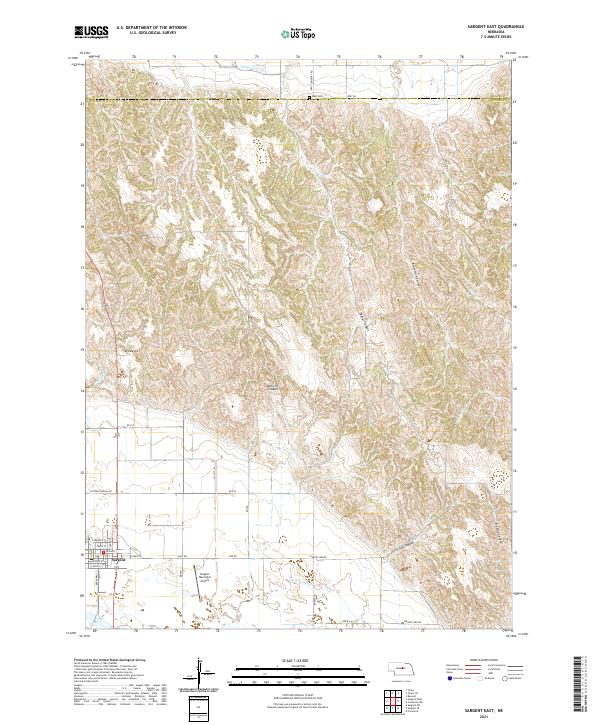
2021 Sargent East
Custer County, NE
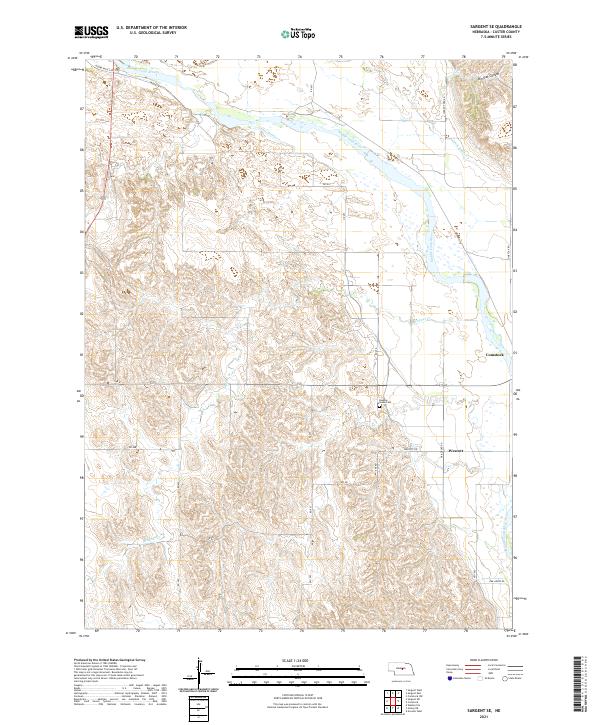
2021 Sargent SE
Custer County, NE
2021 Sargent SW
Custer County, NE
2021 Sargent West
Custer County, NE
2021 Walworth
Custer County, NE