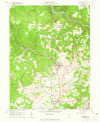
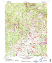
1960 Map of Masontown
USGS Topo · Published 1965About this map
Masontown and the surrounding Preston County highlands appear here during a period of intensive industrial activity. The landscape is defined by the extraction of coal, with numerous Strip Mines and Coke Ovens situated alongside the Baltimore and Ohio railroad corridor. This rail line serves as the primary artery for the region, connecting the mines to larger markets via the valley of Deckers Creek. To the south, the planned community of Arthurdale stands in contrast to the industrial clusters at Bretz and Reedsville.
Find a feature on this map
52 named features on this map. Tap any name to fly to it.
Don’t see what you’re looking for? This feature index may not catch every label — zoom into the map to look around manually.
Map Details
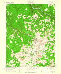
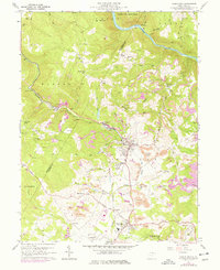
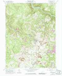
Editions of this 1960 Masontown Map
5 editions found
Other maps of this area

1886 · St. George
USGS Topo · 1:125,000

1891 · St. George
USGS Topo · 1:125,000

1902 · Morgantown
USGS Topo · 1:62,500

1904 · Bruceton
USGS Topo · 1:62,500

1907 · Thornton
USGS Topo · 1:62,500

1907 · Kingwood
USGS Topo · 1:62,500

1925 · Kingwood
USGS Topo · 1:62,500

1925 · Morgantown
USGS Topo · 1:62,500

1926 · Thornton
USGS Topo · 1:62,500

1926 · Bruceton
USGS Topo · 1:62,500