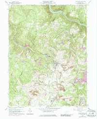
1960 Map of Masontown
USGS Topo · Published 1986About this map
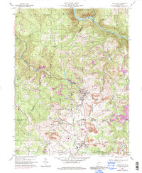
Masontown and Reedsville serve as the primary hubs in this mid-century portrait of Preston County's industrial and agricultural landscape. The Baltimore and Ohio railroad corridor anchors the region's economy, winding alongside Deckers Creek to connect coal-producing areas like Morgan Mines and Bretz with the larger regional network. The map reveals a high density of rural institutions, including Sturgiss Ch, Zinn Chapel, and the Friendship Sch, reflecting the established community structure of the time. Northwest of the river, the landscape transitions into the protected woodlands of Coopers Rock State Forest above the Cheat River. Notable local landmarks like a Drive-In Theater and various Strip Mines indicate the mid-20th-century intersection of leisure and heavy industry.
Find a feature on this map
56 named features on this map. Tap any name to fly to it.
Don’t see what you’re looking for? This feature index may not catch every label — zoom into the map to look around manually.
Map Details
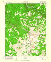
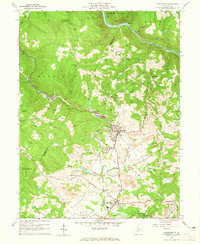
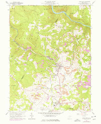
Editions of this 1960 Masontown Map
5 editions found
Other maps of this area

1886 · St. George
USGS Topo · 1:125,000

1891 · St. George
USGS Topo · 1:125,000

1902 · Morgantown
USGS Topo · 1:62,500

1904 · Bruceton
USGS Topo · 1:62,500

1907 · Thornton
USGS Topo · 1:62,500

1907 · Kingwood
USGS Topo · 1:62,500

1925 · Kingwood
USGS Topo · 1:62,500

1925 · Morgantown
USGS Topo · 1:62,500

1926 · Thornton
USGS Topo · 1:62,500

1926 · Bruceton
USGS Topo · 1:62,500