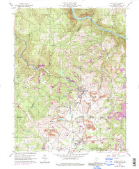
1960 Map of Masontown
USGS Topo · Published 1998About this map
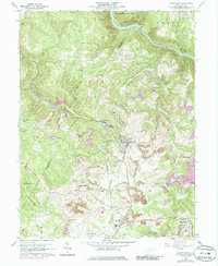
The Baltimore and Ohio railroad corridor anchors the landscape of Preston and Monongalia counties, cutting through the heavy industry of the mid-20th century. Moving southeast from Greer, the rail line services a series of mining operations and small settlements, including Cascade and Bretz. The map reveals the extensive reach of extraction in the region, with numerous Strip Mine locations and the Morgan Mines dotting the hillsides. Central to the sheet is Masontown, a primary hub of activity situated near Dillan and Pleasant Valley.
Find a feature on this map
51 named features on this map. Tap any name to fly to it.
Don’t see what you’re looking for? This feature index may not catch every label — zoom into the map to look around manually.
Map Details
Editions of this 1960 Masontown Map
5 editions found
Other maps of this area

1886 · St. George
USGS Topo · 1:125,000

1891 · St. George
USGS Topo · 1:125,000

1902 · Morgantown
USGS Topo · 1:62,500

1904 · Bruceton
USGS Topo · 1:62,500

1907 · Thornton
USGS Topo · 1:62,500

1907 · Kingwood
USGS Topo · 1:62,500

1925 · Kingwood
USGS Topo · 1:62,500

1925 · Morgantown
USGS Topo · 1:62,500

1926 · Thornton
USGS Topo · 1:62,500

1926 · Bruceton
USGS Topo · 1:62,500