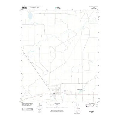
2010 Map of Matador
USGS Topo · Published 2010About this map
Matador serves as the focal point of this West Texas landscape, where the town's street grid is bordered to the south by Ballard Creek. The terrain is defined by a dendritic network of seasonal waterways and draws that drain toward the Middle Pease River in the north. This 2010 survey highlights the local water management infrastructure, specifically the Ed Jameson Lake Dam and the accompanying Ed Jameson Lake situated east of the town center. The presence of East Mound Cemetery on the northeastern edge of the community provides a significant landmark for genealogical research. The map captures the intersection of regional thoroughfares like FM 94 with a dense network of local routes such as Co RD 205 and Co RD 214, illustrating the connectivity of this ranching and agricultural region.
Find a feature on this map
23 named features on this map. Tap any name to fly to it.
Don’t see what you’re looking for? This feature index may not catch every label — zoom into the map to look around manually.
Map Details
Editions of this 2010 Matador Map
This is the sole edition of this map. No revisions or reprints were ever made.
Other maps of this area

1954 · Lubbock
USGS Topo · 1:250,000

1954 · Plainview
USGS Topo · 1:250,000

1958 · Plainview
USGS Topo · 1:250,000

1966 · Matador
USGS Topo · 1:24,000

1966 · Ballard Camp
USGS Topo · 1:24,000

1967 · Hornica Creek
USGS Topo · 1:24,000

1967 · Turtle Hole Camp
USGS Topo · 1:24,000

1967 · Flomot
USGS Topo · 1:24,000

1967 · Whiteflat
USGS Topo · 1:24,000

1968 · Mac Bain
USGS Topo · 1:24,000