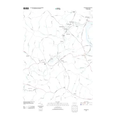
2013 Map of Mather
USGS Topo · Published 2013About this map
Mather and Jefferson serve as the primary hubs in this section of southwestern Pennsylvania, where the landscape is defined by the winding course of Tenmile Cr and its southern fork. The settlement pattern reveals a series of planned residential clusters and industrial-era hamlets, including Williamstown, Braden Plan, and the descriptively named Pitt Gas near the Monongahela River. These locations, often established to support local extraction and transport industries, sit alongside rural outposts like Khedive and Lippincott.
Find a feature on this map
128 named features on this map. Tap any name to fly to it.
Don’t see what you’re looking for? This feature index may not catch every label — zoom into the map to look around manually.
Map Details
Editions of this 2013 Mather Map
This is the sole edition of this map. No revisions or reprints were ever made.
Other maps of this area

1900 · Masontown
USGS Topo · 1:62,500

1901 · Amity
USGS Topo · 1:62,500

1901 · Waynesburg
USGS Topo · 1:62,500

1902 · Brownsville
USGS Topo · 1:62,500

1903 · Masontown
USGS Topo · 1:62,500

1904 · Amity
USGS Topo · 1:62,500

1904 · Waynesburg
USGS Topo · 1:62,500

1906 · Brownsville
USGS Topo · 1:62,500

1931 · Brownsville
USGS Topo · 1:62,500

1931 · Masontown
USGS Topo · 1:62,500