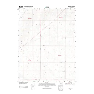
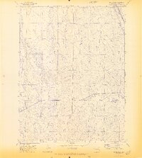
2013 Map of Matheson NE
USGS Topo · Published 2013About this map
The high plains of eastern Elbert County unfold across this 2013 survey, defined by a network of seasonal watercourses and straight-line section roads. The landscape is dominated by drainage patterns including Big Sandy Cr in the northwest and the branching reaches of Long Br and Long Cr to the south. These intermittent streams cut through the terrain, creating features like Horseshoe Draw and influencing the placement of early infrastructure.
Find a feature on this map
27 named features on this map. Tap any name to fly to it.
Don’t see what you’re looking for? This feature index may not catch every label — zoom into the map to look around manually.
Map Details
Editions of this 2013 Matheson NE Map
This is the sole edition of this map. No revisions or reprints were ever made.
Other maps of this area

1891 · Limon
USGS Topo · 1:125,000

1892 · Limon
USGS Topo · 1:125,000

1954 · Limon
USGS Topo · 1:250,000

1957 · Limon
USGS Topo · 1:250,000

1958 · Limon
USGS Topo · 1:250,000
1970 · Matheson SW
USGS Topo · 1:24,000
1970 · Matheson
USGS Topo · 1:24,000
1970 · Matheson SE
USGS Topo · 1:24,000
1970 · Beuck Draw
USGS Topo · 1:24,000

1970 · Limon
USGS Topo · 1:24,000