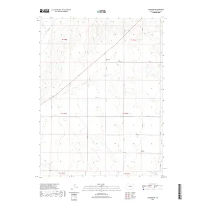
2019 Map of Matheson NE
USGS Topo · Published 2019About this map
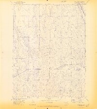
Dunkers Cem and Pleasant Plains Cem stand as significant markers of settlement history within this high plains portion of Elbert County. The landscape is defined by the ephemeral drainages of the Big Sandy Cr watershed, including the meandering paths of Long Br, Long Cr, and N Rush Cr. These watercourses carve subtle relief through the terrain, dictating the placement of the section-line road network that serves the surrounding agricultural allotments. The grid of local routes, such as Co RD 98 and Co RD 185, reflects the enduring rural structure of the region in the early 21st century. This survey documents the intersection of several townships, including t9s r57w and t10s r58w, illustrating how the land was partitioned and settled long after the initial homesteading era.
Find a feature on this map
25 named features on this map. Tap any name to fly to it.
Don’t see what you’re looking for? This feature index may not catch every label — zoom into the map to look around manually.
Map Details
Editions of this 2019 Matheson NE Map
This is the sole edition of this map. No revisions or reprints were ever made.
Other maps of this area

1891 · Limon
USGS Topo · 1:125,000

1892 · Limon
USGS Topo · 1:125,000

1954 · Limon
USGS Topo · 1:250,000

1957 · Limon
USGS Topo · 1:250,000

1958 · Limon
USGS Topo · 1:250,000
1970 · Matheson SW
USGS Topo · 1:24,000
1970 · Matheson
USGS Topo · 1:24,000
1970 · Matheson SE
USGS Topo · 1:24,000
1970 · Beuck Draw
USGS Topo · 1:24,000

1970 · Limon
USGS Topo · 1:24,000