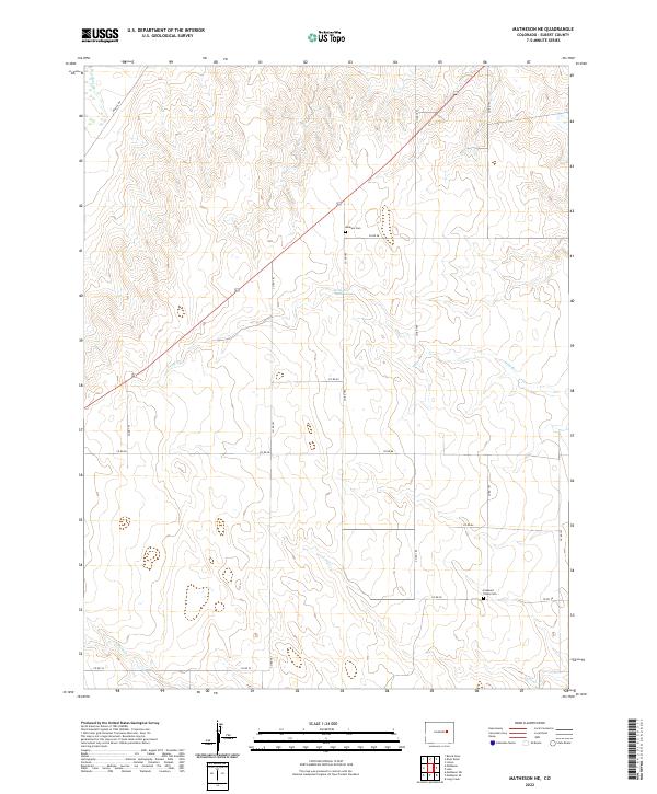
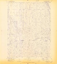
2022 Map of Matheson NE
USGS Topo · Published 2022About this map
Dunkers Cem and Pleasant Plains Cem stand as significant historical anchors in this high plains landscape of Elbert County. The terrain is defined by a dense network of intermittent drainage channels including Big Sandy Cr, Long Br, and Long Cr, which carve through the township and range boundaries of t9s r57w and t10s r58w. A quiet grid of county roads, such as Co RD 185 and Co RD 78, facilitates movement across the rolling topography, connecting the scattered rural sections. The map reveals the classic settlement pattern of the western prairie, where watercourses like N Rush Cr and family or community cemeteries provide the primary landmarks for local residents and land owners in this expansive agricultural district.
Find a feature on this map
23 named features on this map. Tap any name to fly to it.
Don’t see what you’re looking for? This feature index may not catch every label — zoom into the map to look around manually.
Map Details
Editions of this 2022 Matheson NE Map
This is the sole edition of this map. No revisions or reprints were ever made.
Other maps of this area

1891 · Limon
USGS Topo · 1:125,000

1892 · Limon
USGS Topo · 1:125,000

1954 · Limon
USGS Topo · 1:250,000

1957 · Limon
USGS Topo · 1:250,000

1958 · Limon
USGS Topo · 1:250,000
1970 · Matheson SW
USGS Topo · 1:24,000
1970 · Matheson
USGS Topo · 1:24,000
1970 · Matheson SE
USGS Topo · 1:24,000
1970 · Beuck Draw
USGS Topo · 1:24,000

1970 · Limon
USGS Topo · 1:24,000