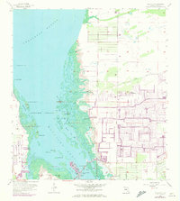
1958 Map of Matlacha
USGS Topo · Published 1973About this map
Cape Coral and the surrounding coastal landscape of Lee County are shown in a transitional state, blending the natural mangrove environments of Matlacha Pass with emerging residential development. The 1972 revisions, indicated in purple, illustrate the rapid expansion of suburban infrastructure, featuring the characteristic canal systems and street grids that began to define the region north of the Pine Island Road. In contrast, the western portion of the map remains a complex network of keys and tidal creeks, including Big Smokehouse Key and Bird Rookery Keys.
Find a feature on this map
36 named features on this map. Tap any name to fly to it.
Don’t see what you’re looking for? This feature index may not catch every label — zoom into the map to look around manually.
Map Details
Editions of this 1958 Matlacha Map
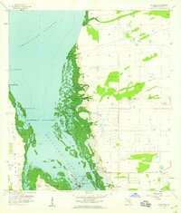
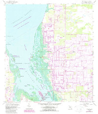
4 editions found
Other maps of this area

1956 · Punta Gorda SE
USGS Topo · 1:24,000

1956 · West Palm Beach
USGS Topo · 1:250,000

1956 · Tampa
USGS Topo · 1:250,000

1956 · Charlotte Harbor
USGS Topo · 1:250,000

1957 · West Palm Beach
USGS Topo · 1:250,000

1957 · Punta Gorda SW
USGS Topo · 1:24,000

1957 · Gilchrist
USGS Topo · 1:24,000

1958 · West Palm Beach
USGS Topo · 1:250,000

1958 · Matlacha
USGS Topo · 1:24,000

1958 · Captiva
USGS Topo · 1:24,000