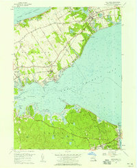
1956 Map of Mattituck
USGS Topo · Published 1958About this map
Mattituck serves as a central hub on this North Fork landscape, situated between the Long Island Sound and Great Peconic Bay. The map highlights a mid-century agricultural and recreational transition, with established settlements like Jamesport, Laurel, and Northville surrounded by vast open tracts and scattered ponds. To the south, across the water, the geography shifts toward the wetland-rich terrain of Flanders and Hampton Bays, where the narrow land at Canoe Place separates Great Peconic Bay from Shinnecock Bay.
Find a feature on this map
66 named features on this map. Tap any name to fly to it.
Don’t see what you’re looking for? This feature index may not catch every label — zoom into the map to look around manually.
Map Details
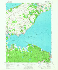
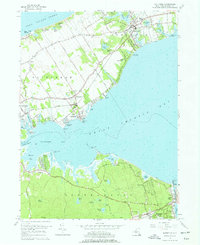
Editions of this 1956 Mattituck Map
4 editions found

Other maps of this area

1903 · Sag Harbor
USGS Topo · 1:62,500

1903 · Riverhead
USGS Topo · 1:62,500

1904 · Sag Harbor
USGS Topo · 1:62,500

1904 · Shelter Island
USGS Topo · 1:62,500

1904 · Riverhead
USGS Topo · 1:62,500

1943 · Riverhead
USGS Topo · 1:62,500

1947 · Mattituck
USGS Topo · 1:24,000

1947 · Mattituck Hills
USGS Topo · 1:24,000

1947 · Southold
USGS Topo · 1:24,000

1947 · Southampton
USGS Topo · 1:24,000