
1956 Map of Mattituck
USGS Topo · Published 1977About this map
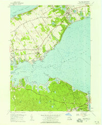
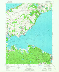
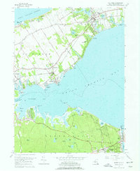
The Peconic Bay shoreline defines the character of this 1956 mid-century survey, capturing a landscape where maritime heritage and seasonal coastal living converge. The sheet illustrates the eastern end of Long Island's north and south forks, showcasing the intricate water network between Great Peconic Bay and Flanders Bay. In the north, Mattituck is established as a central hub, flanked by Marratooka Pond and the Long Island RR, while the shoreline features developed areas like Shore Acres and South Jamesport. To the south, the village of Hampton Bays serves as a gateway to the Atlantic side, connected by the vital Shinnecock Canal. This area reveals the transition from early agricultural tracts to recreational camps, such as Camp Malloy and Camp Immaculate, and the emergence of suburban-style developments like Newtown and Squiretown during a period of significant growth for Suffolk County.
Find a feature on this map
69 named features on this map. Tap any name to fly to it.
Don’t see what you’re looking for? This feature index may not catch every label — zoom into the map to look around manually.
Map Details
Editions of this 1956 Mattituck Map
4 editions found
Other maps of this area

1903 · Sag Harbor
USGS Topo · 1:62,500

1903 · Riverhead
USGS Topo · 1:62,500

1904 · Sag Harbor
USGS Topo · 1:62,500

1904 · Shelter Island
USGS Topo · 1:62,500

1904 · Riverhead
USGS Topo · 1:62,500

1943 · Riverhead
USGS Topo · 1:62,500

1947 · Mattituck
USGS Topo · 1:24,000

1947 · Mattituck Hills
USGS Topo · 1:24,000

1947 · Southold
USGS Topo · 1:24,000

1947 · Southampton
USGS Topo · 1:24,000